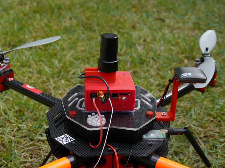
We have just delivered the first two units of the new 20Hz version of our V-Map precise aerial mapping system to a UAV mapping company in the USA. With dual frequency GPS observation rates as high as 20Hz, the V-Map system provides ultra-high accurate drone flight trajectories and camera exposure positioning. It weighs […]
Continue readingCategory Archives: Modelling
Dispatch from Tirana, Albania
We at Micro Aerial Projects are very happy to continue our work with the World Bank in Albania where we are mapping and modelling with small UAVs. Today we completed our 49th flight over the quickly developing peri-urban landscapes on the fringes of Tirana. It all went without a hitch. We are really excited about […]
Continue reading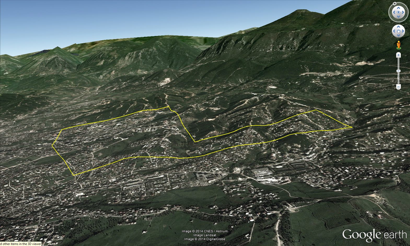
Project Albania
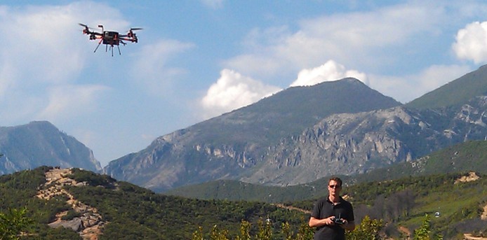
We are back in Albania, working on a project again with the World Bank. We are using Vertical Take-off and Landing Unmanned Aerial Systems (Drones) to provide high resolution aerial mapping of rapidly developing areas. In some cases land rights have not quite been legally established and in others the hard copy paper cadaster maps […]
Continue reading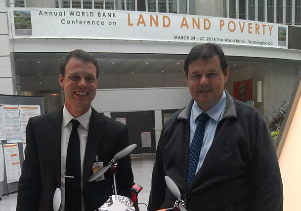
Micro Aerial Projects presents at the World Bank Annual Conference on Land and Poverty
At the Annual World Bank Conference on Land and Poverty Micro Aerial Projects presented the aerial mapping work we have done in Albania using small UAVs for improved land governance and cadastral mapping. Hopefully our work will demonstrate that small UAVs/drones are efficient and appropriate survey tools which can tackle the vast amount of mapping […]
Continue reading