“Great customer service from a great team. Oliver and Walter are exemplary technicians and passionate about producing products that truly innovate. They have been a tremendous help in moving forward our business application and their technology is crucial to our clients satisfaction and ultimate success.” – Adam Watts (Desert Drones Imagery)
Founded: 2008 President: Walter Volkmann Operations Manager:Oliver Volkmann Location:Gainesville, Florida, USA Vision:Unmanned or remotely controlled aerial vehicles will have a huge impact on future geospatial operations. Mission:To identify sustainable and appropriate civilian geospatial applications of unmanned or remotely controlled vehicles; to support and provide efficient, cost effective, safe and responsible geospatial solutions; to develop self sustainable UAS operations internationally.
Meet the “V-Team”
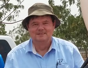
Walter Volkmann
President | Geodetic & Cadastral Surveyor | Geo-Spatial Solutions Specialist
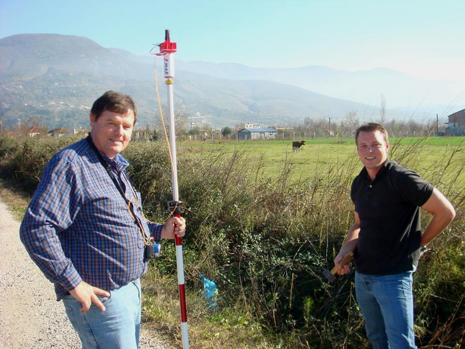
Born and raised in Namibia, southern Africa, Walter Volkmann is the son and grandson of Land Surveyors. Graduating with a B.Sc. Engineering (Survey) from the University of Natal in 1980, Walter began an exciting career of challenging projects which have taken him around the world. Walter has pioneered GPS applications in surveying tasks on the ground and in the air; mentored survey students, trained company and government employees – and consulted to International Aid Organizations and Governments. He has provided expert advice in the development of strategies to deliver countrywide GNSS positioning services and has assisted survey offices in the utilization of new technologies to improve overall efficiency in the preparation of land titles. Walter’s areas of expertise comprise geodetic, cadastral, topographic, and photogrammetric surveying, Geographic Information Systems (GIS), UAS operations and general management of survey projects. Walter’s classical education in surveying has presented him with many opportunities to identify and provide innovative geospatial solutions in rural and urban settings. His practical, pioneering experience in various parts of the world has given him a special perspective of how new technologies can be appropriately applied to address geo-spatial challenges in developing environments.
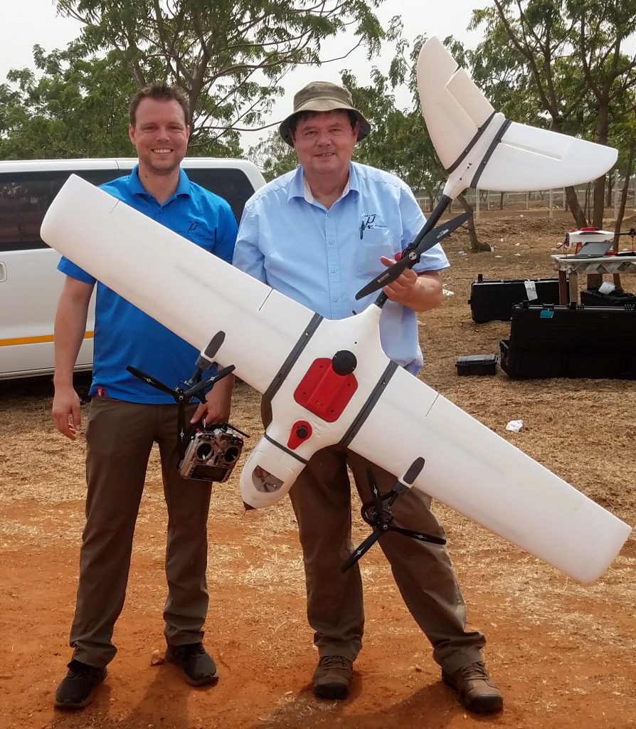
Oliver Volkmann
Operations Manager
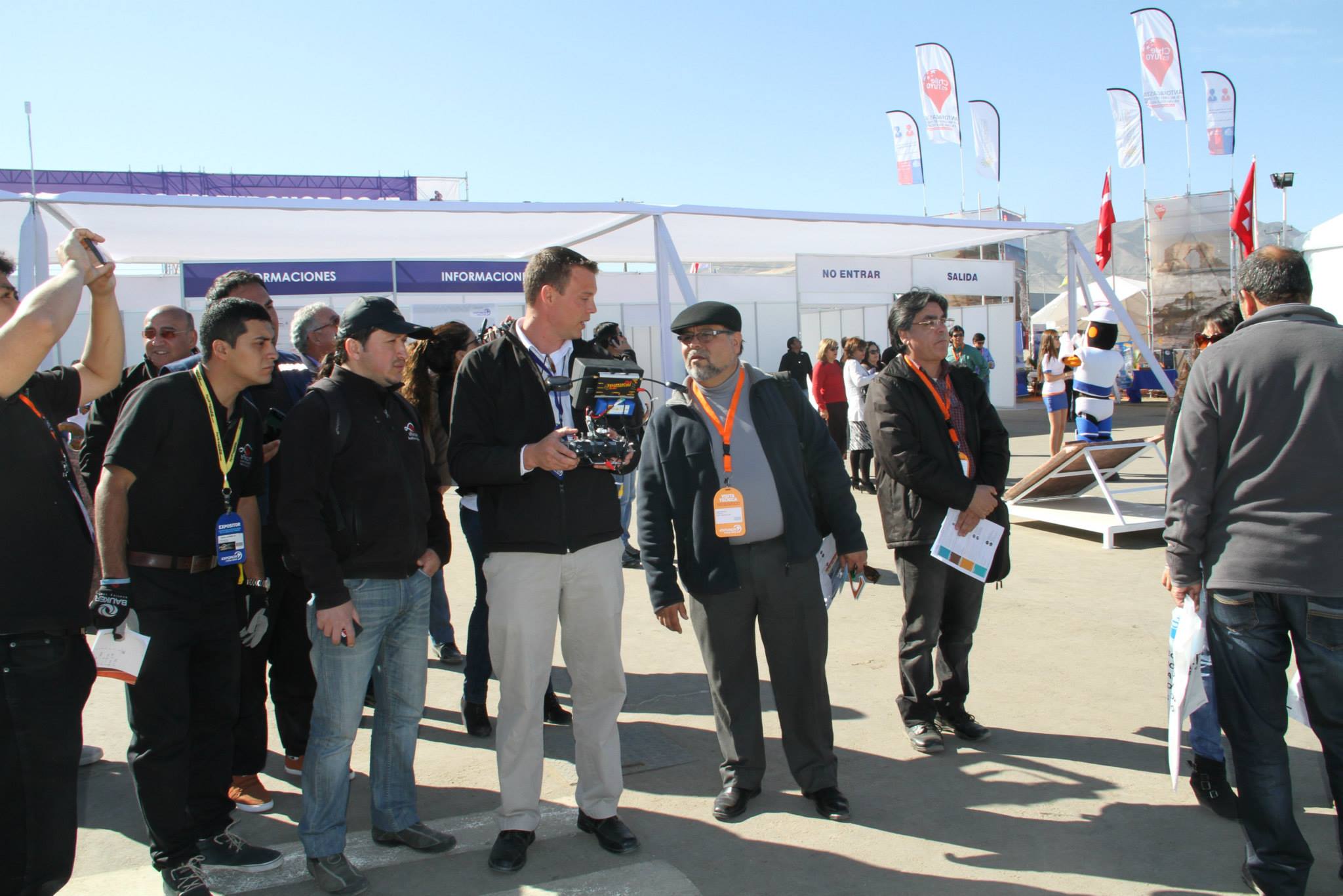
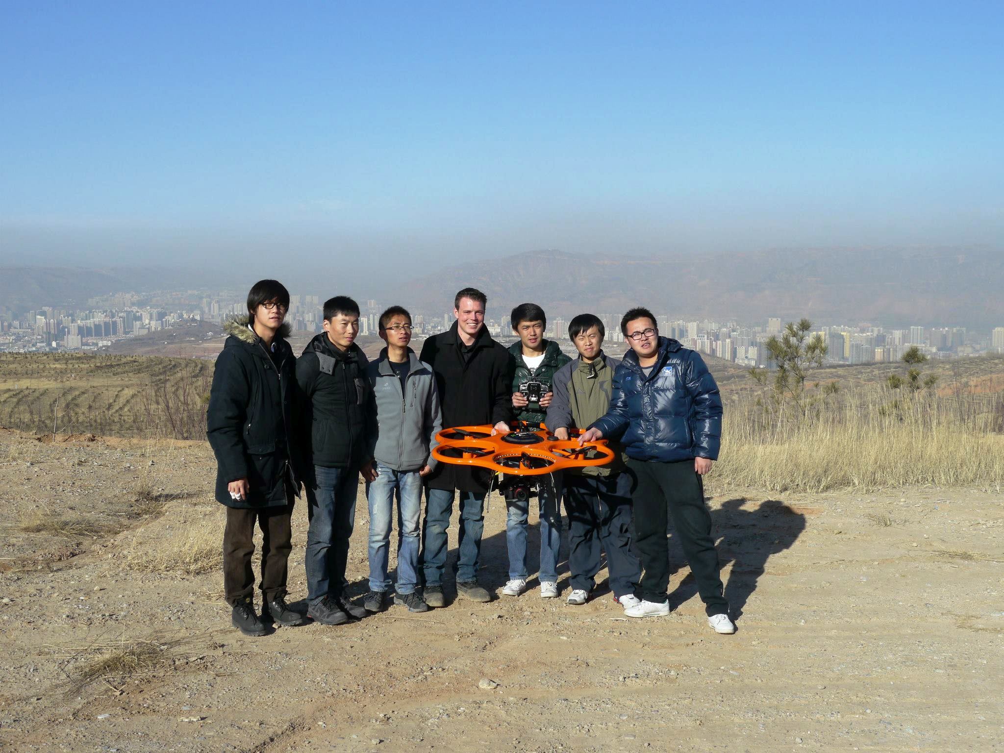
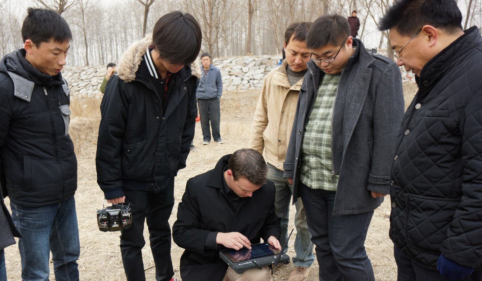
In 2011 Walter was joined in Micro Aerial Projects by Oliver Volkmann, his son, who grew up in Namibia helping Walter on survey projects, watching and learning to develop solutions to a wide variety of challenges. With a background in the IB system and business training, Oliver has worked as a GIS Analyst with a GIS based company and as International Distribution and Sales Manager of a European U.A.V. manufacturer. Oliver has partnered with Walter in the development of the V-Map system. He has traveled extensively around the world to train and support enterprises in the development of UAV operation capacities. Oliver’s innovative drive and initiative to improve safety and efficiency in UAV operations have earned him the friendship of an international network of UAV enthusiasts and enterprises.
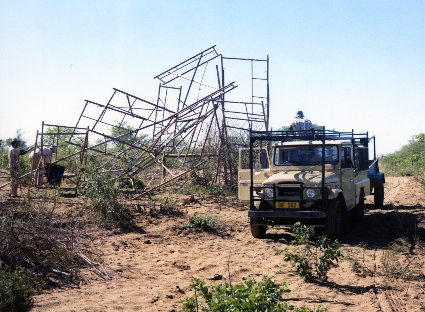
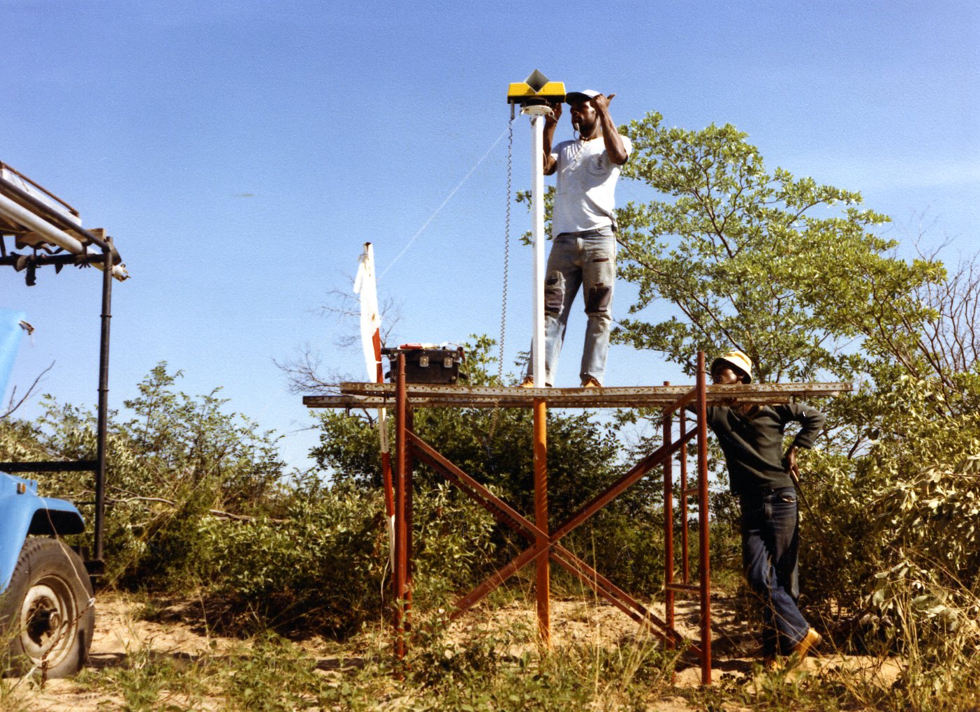
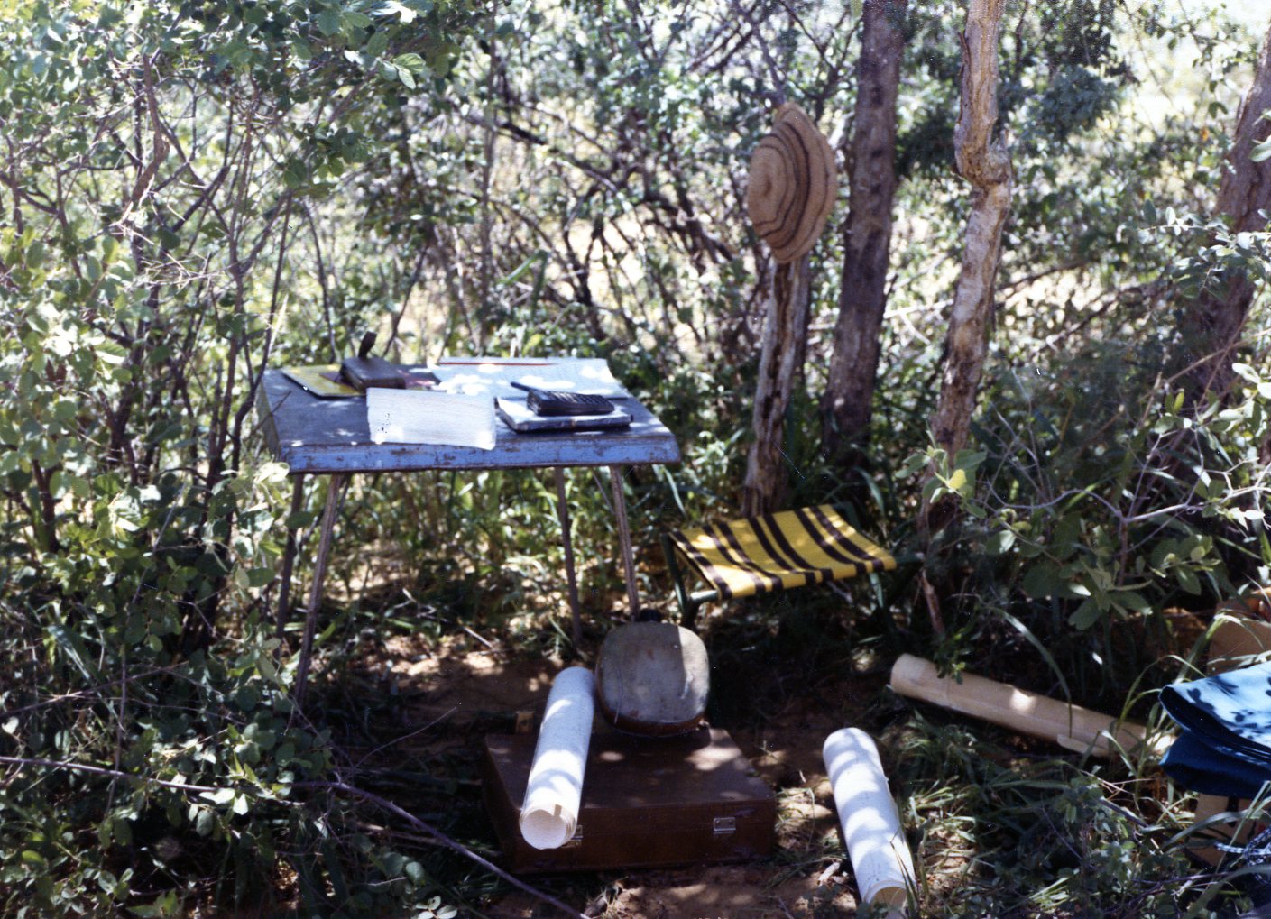
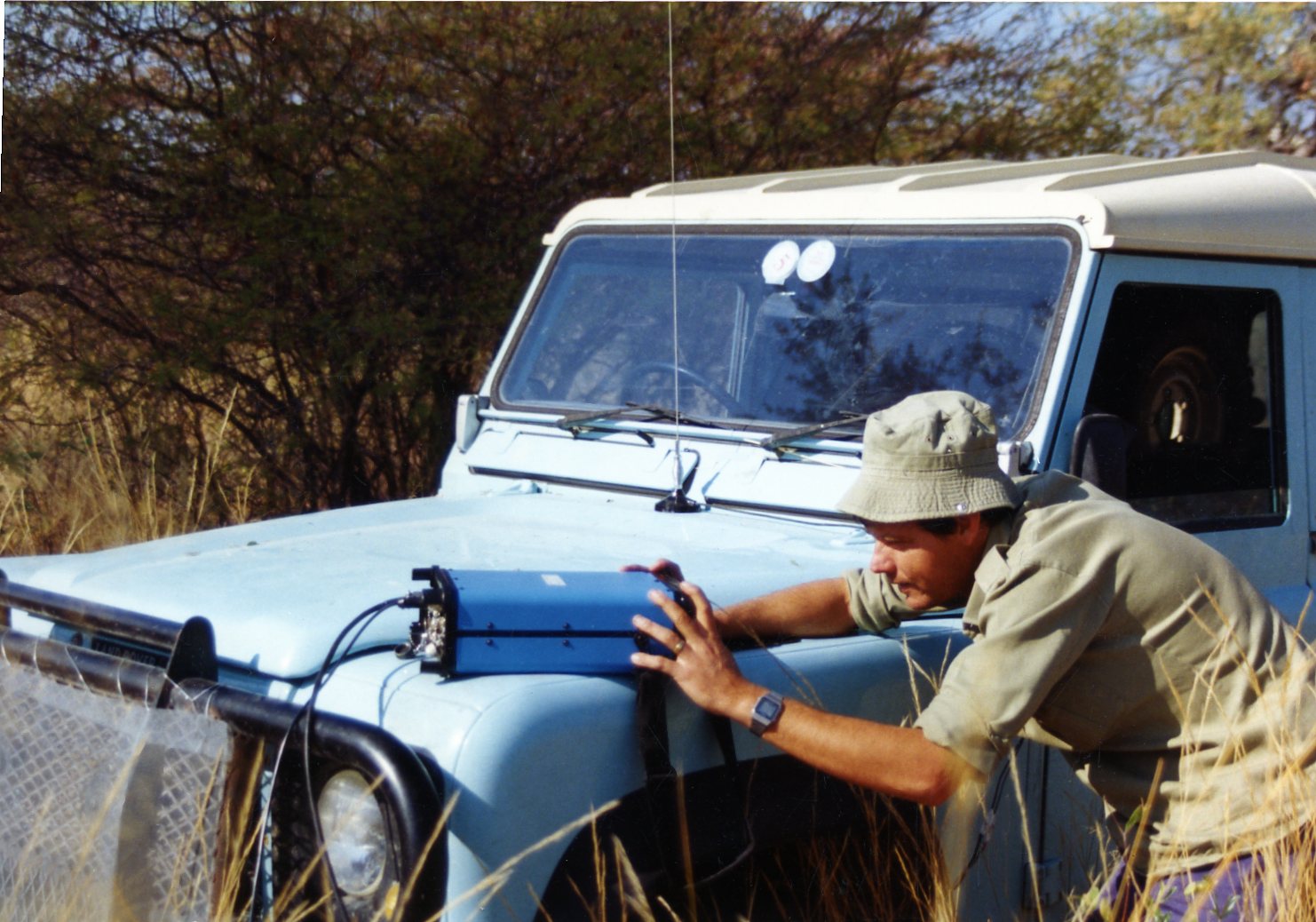
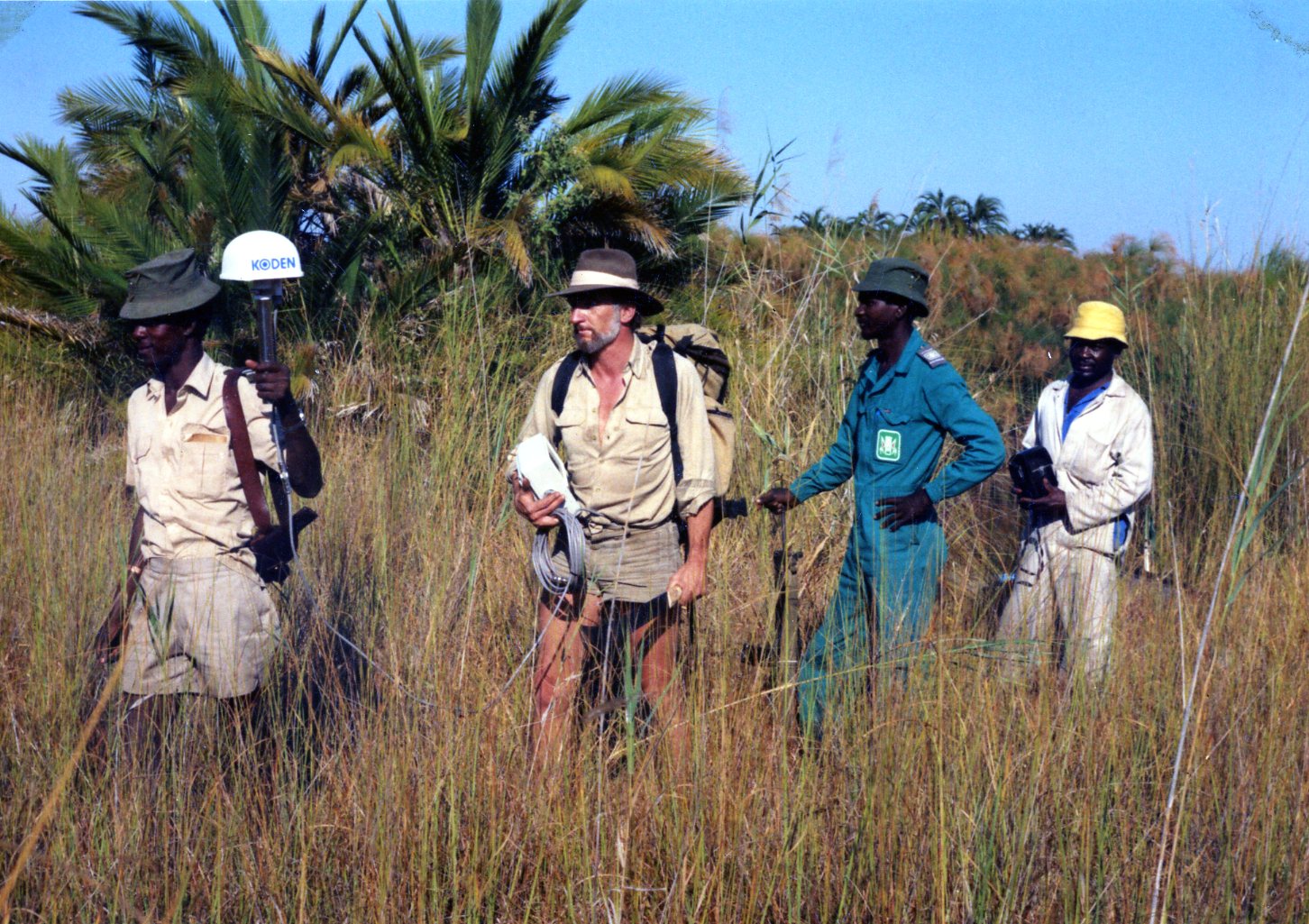
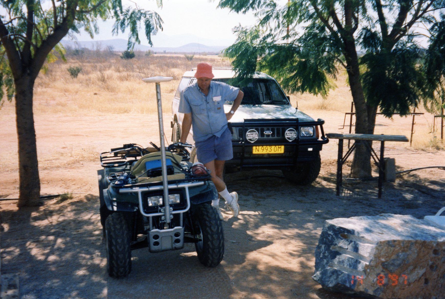
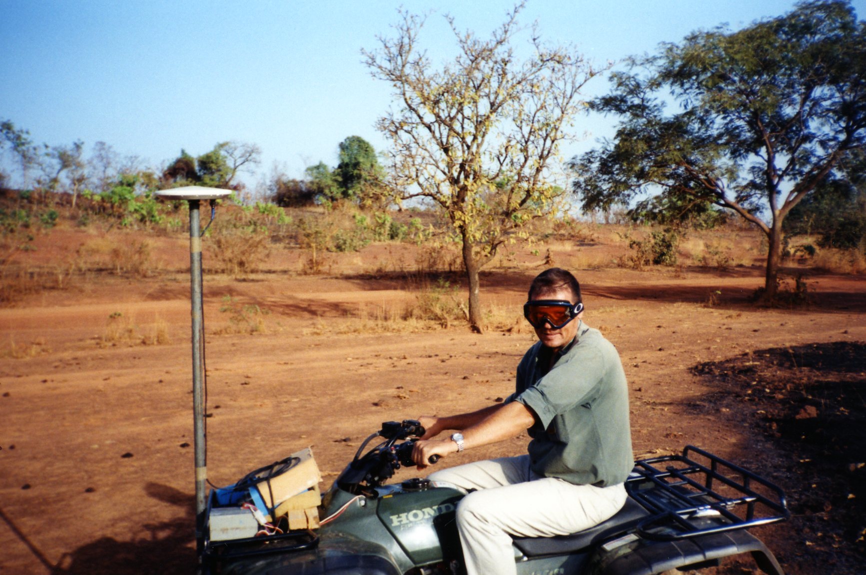
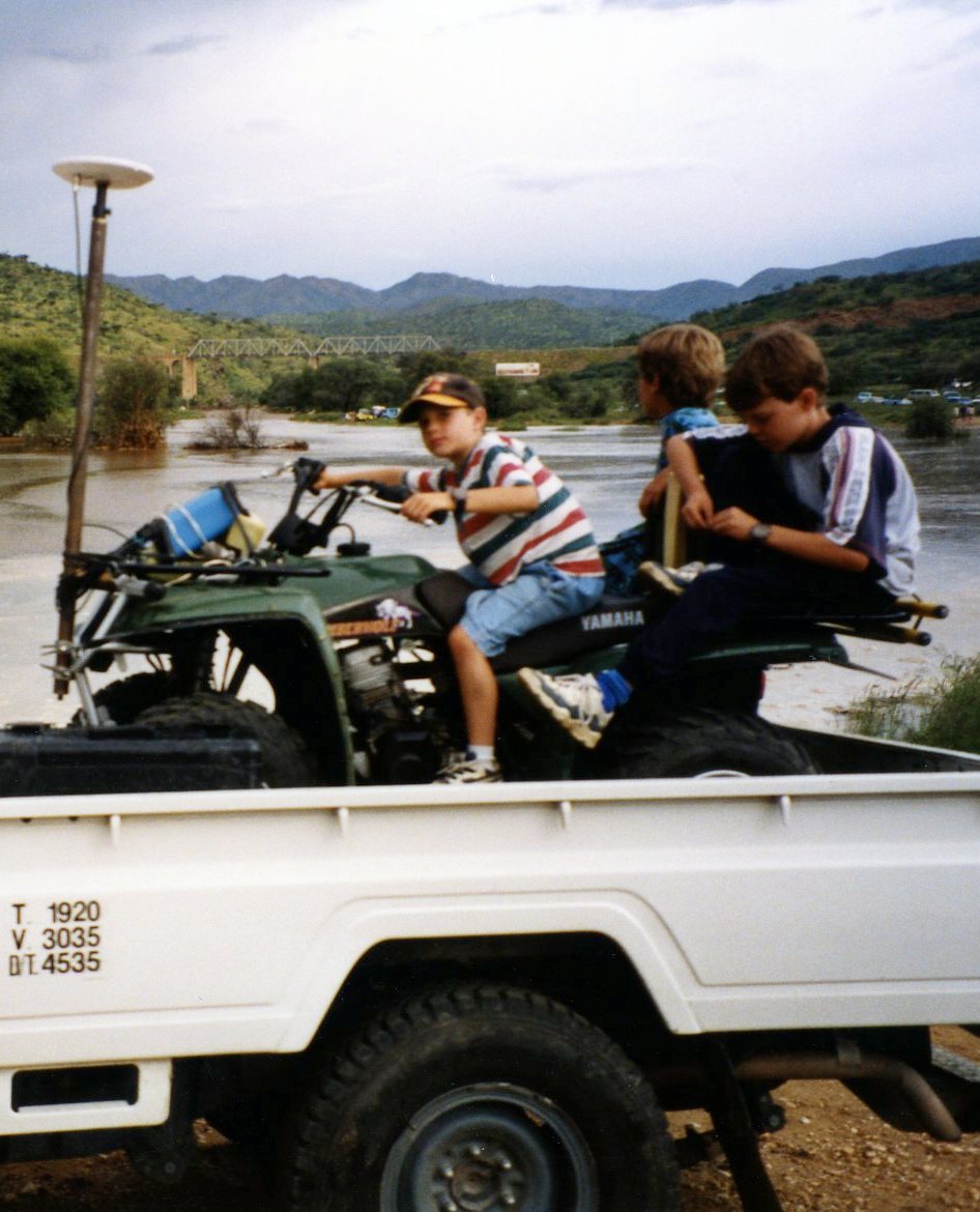
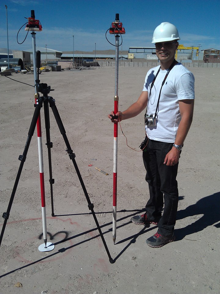
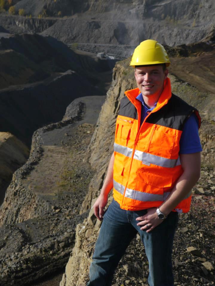
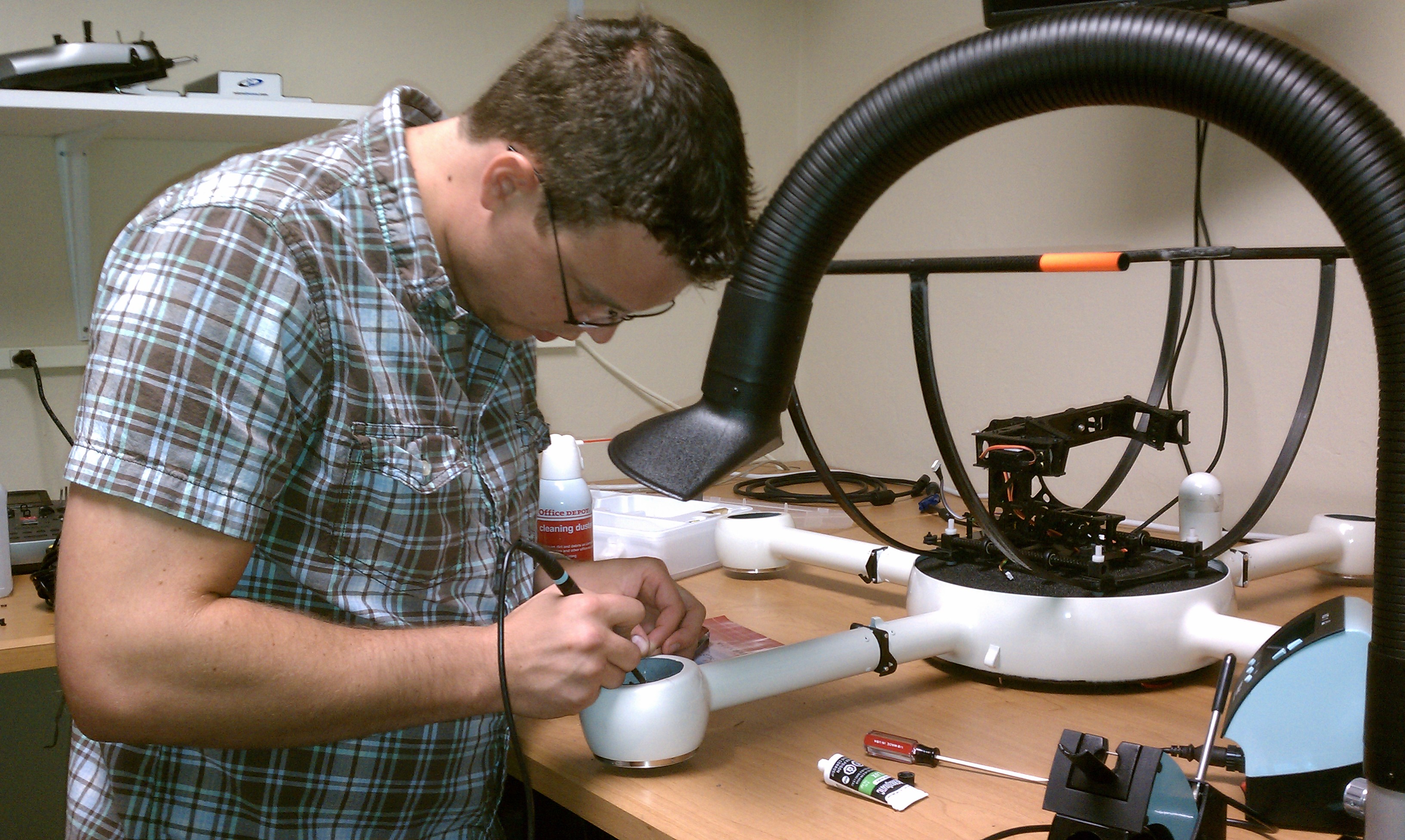
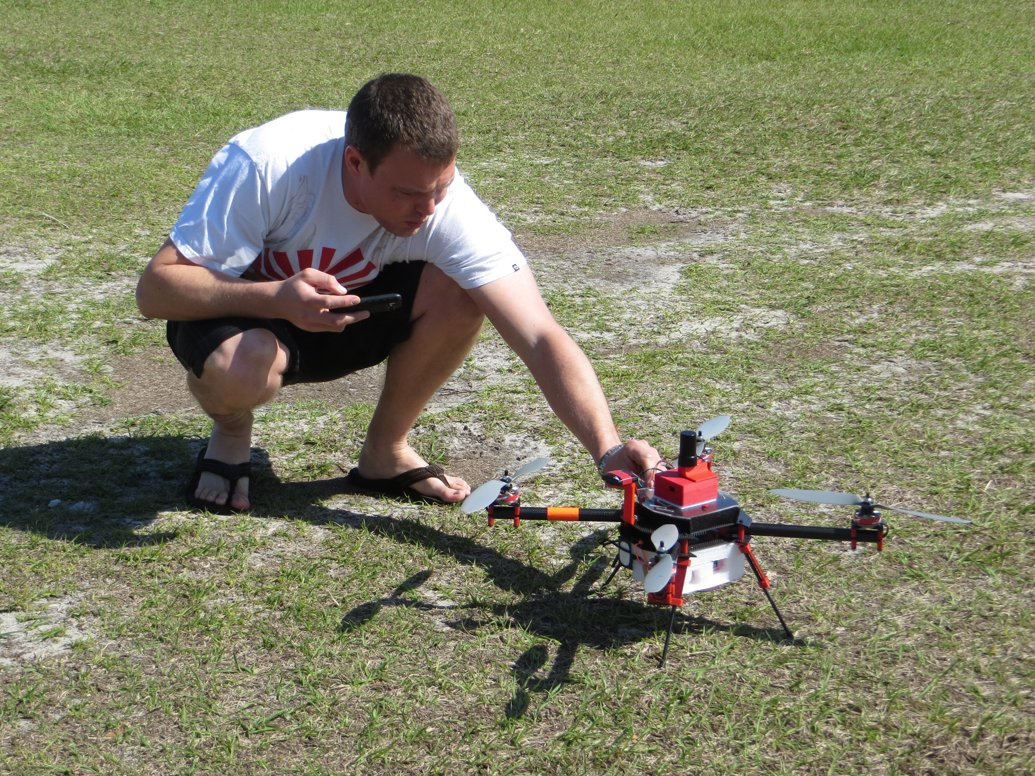
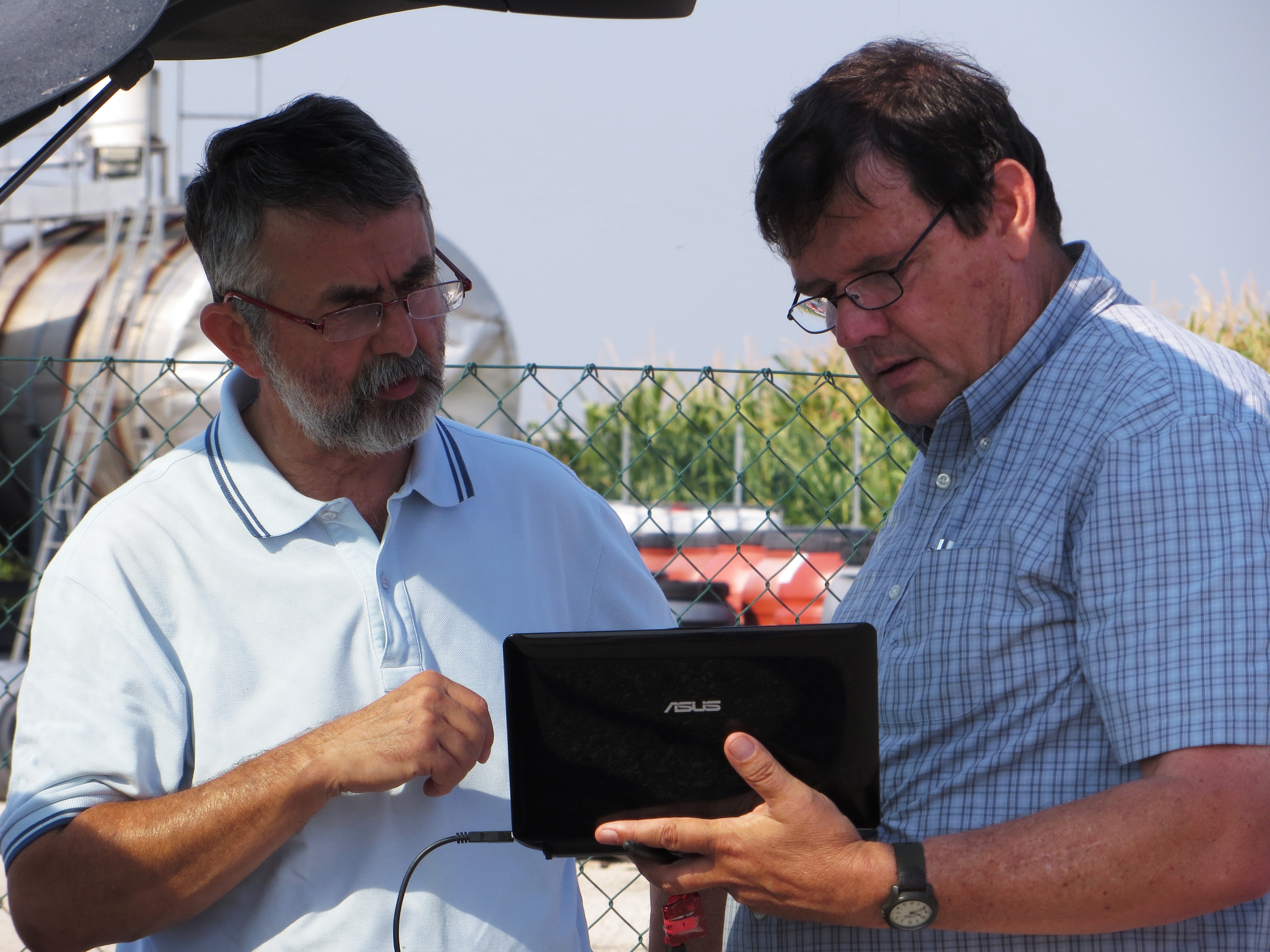
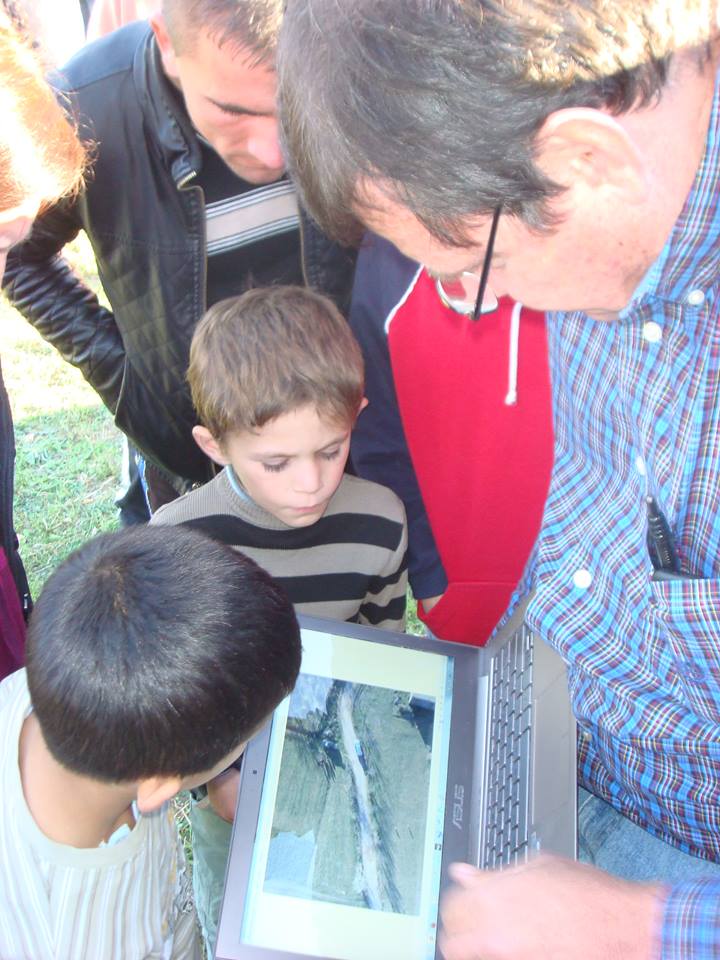
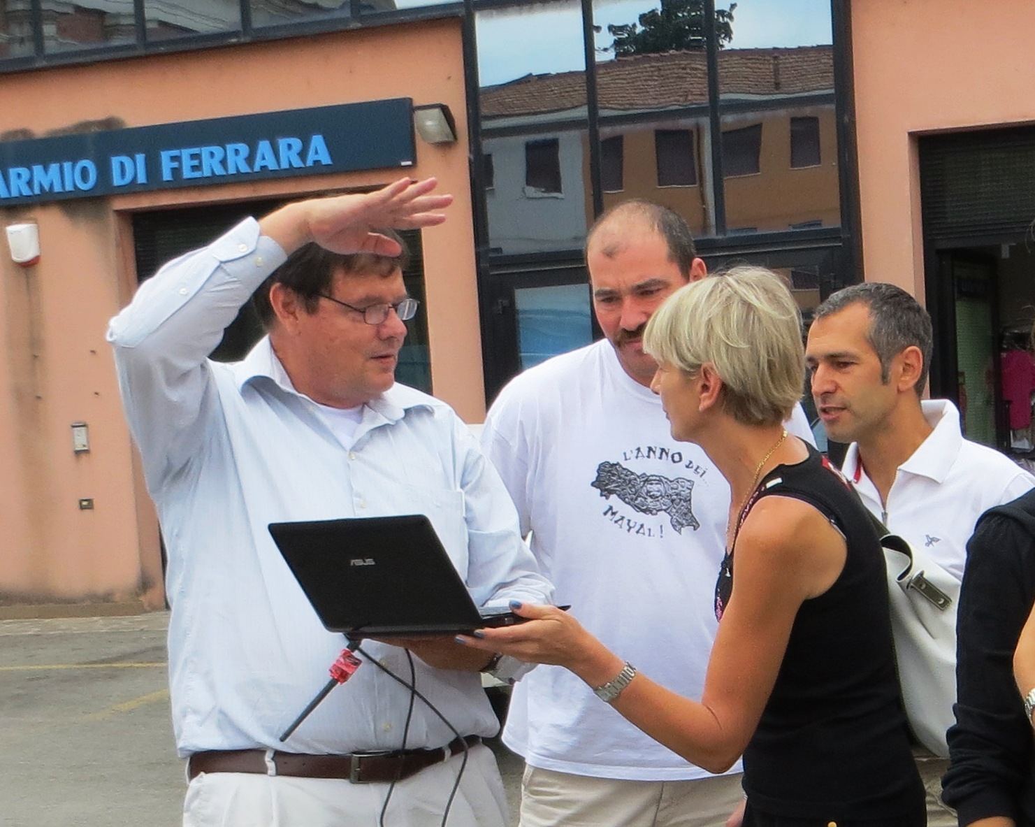
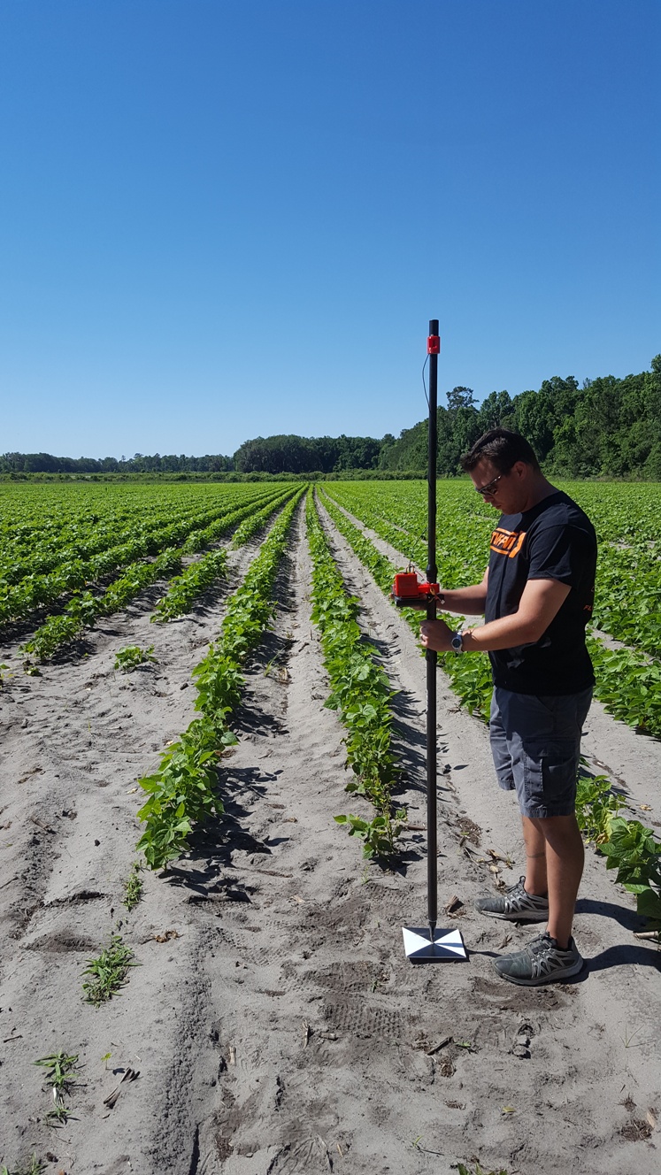
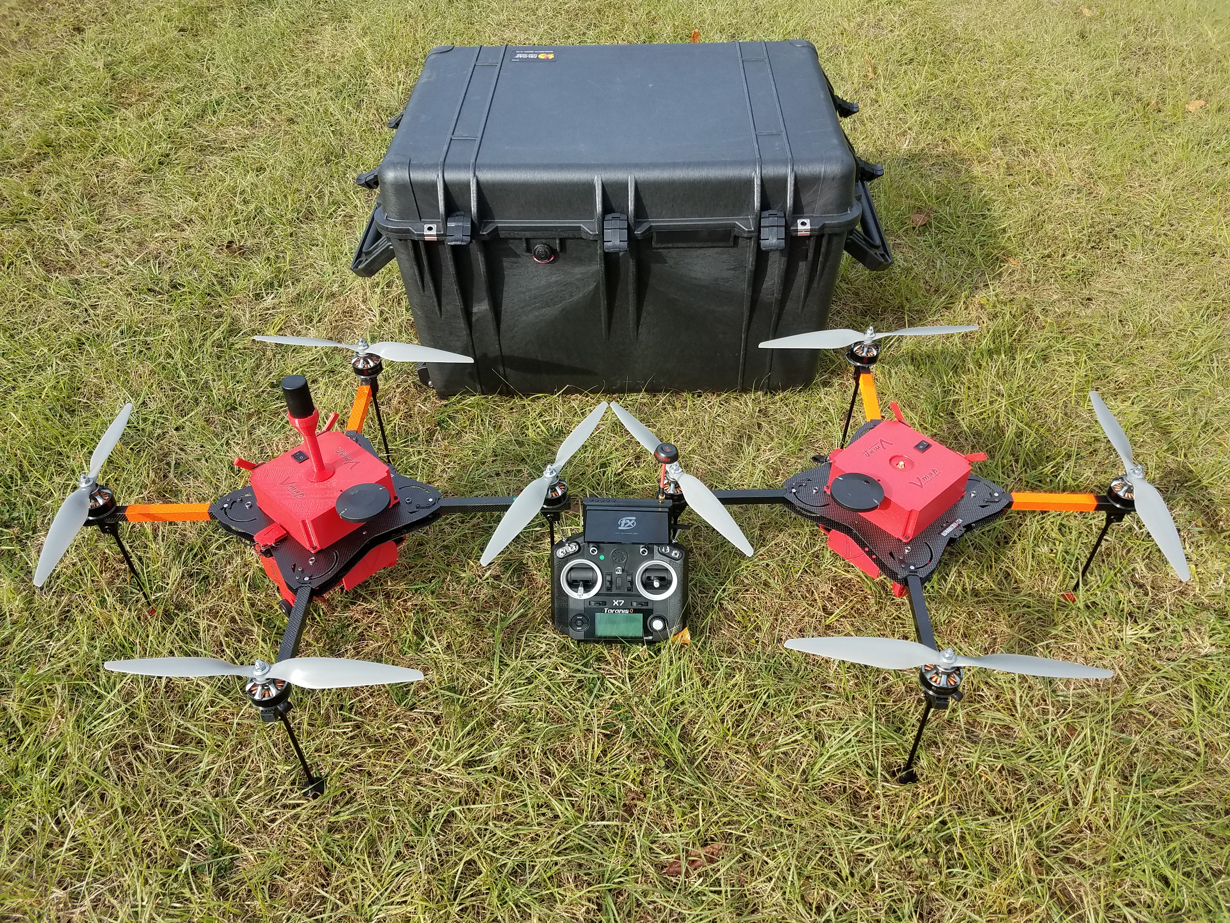
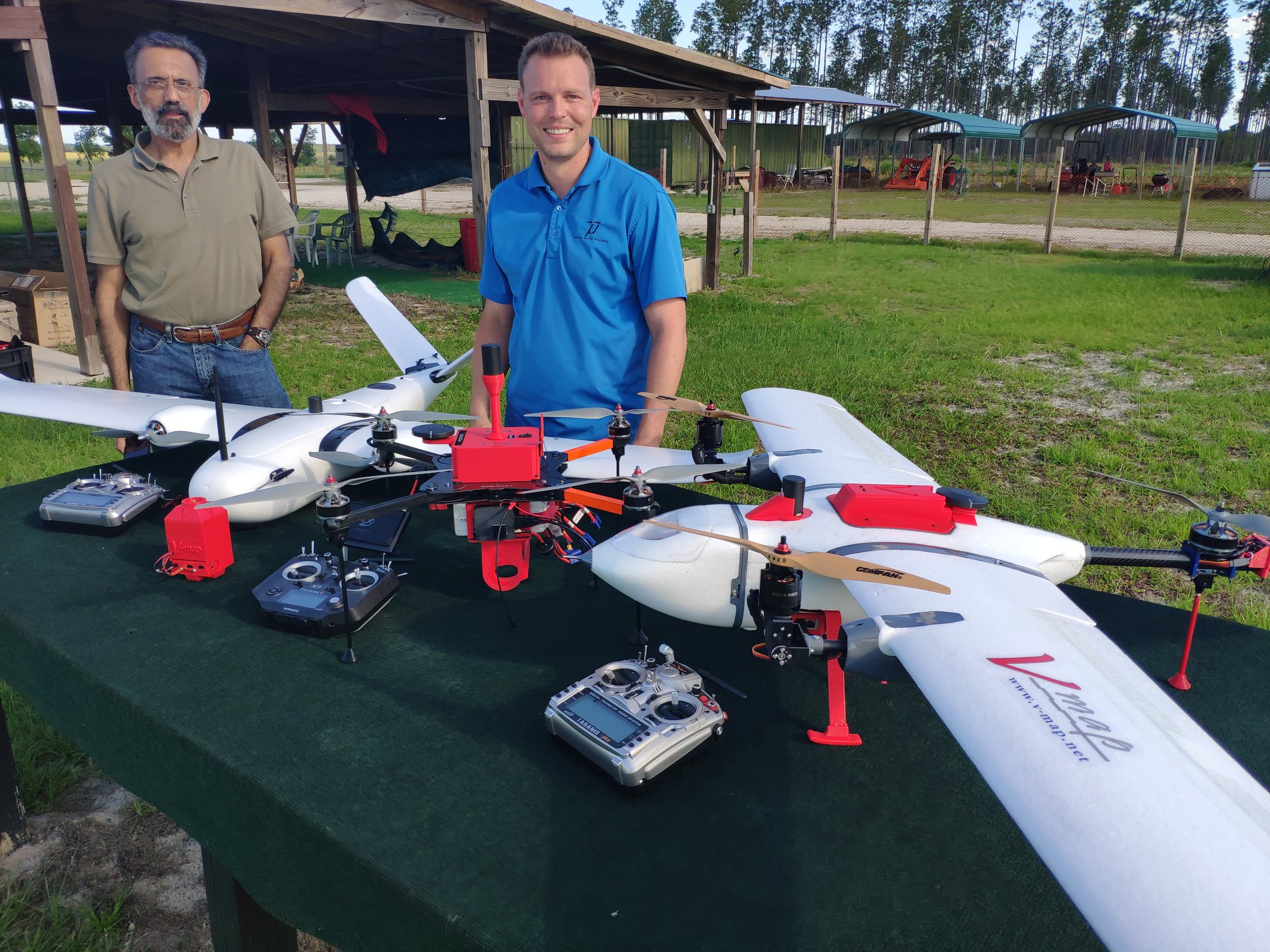
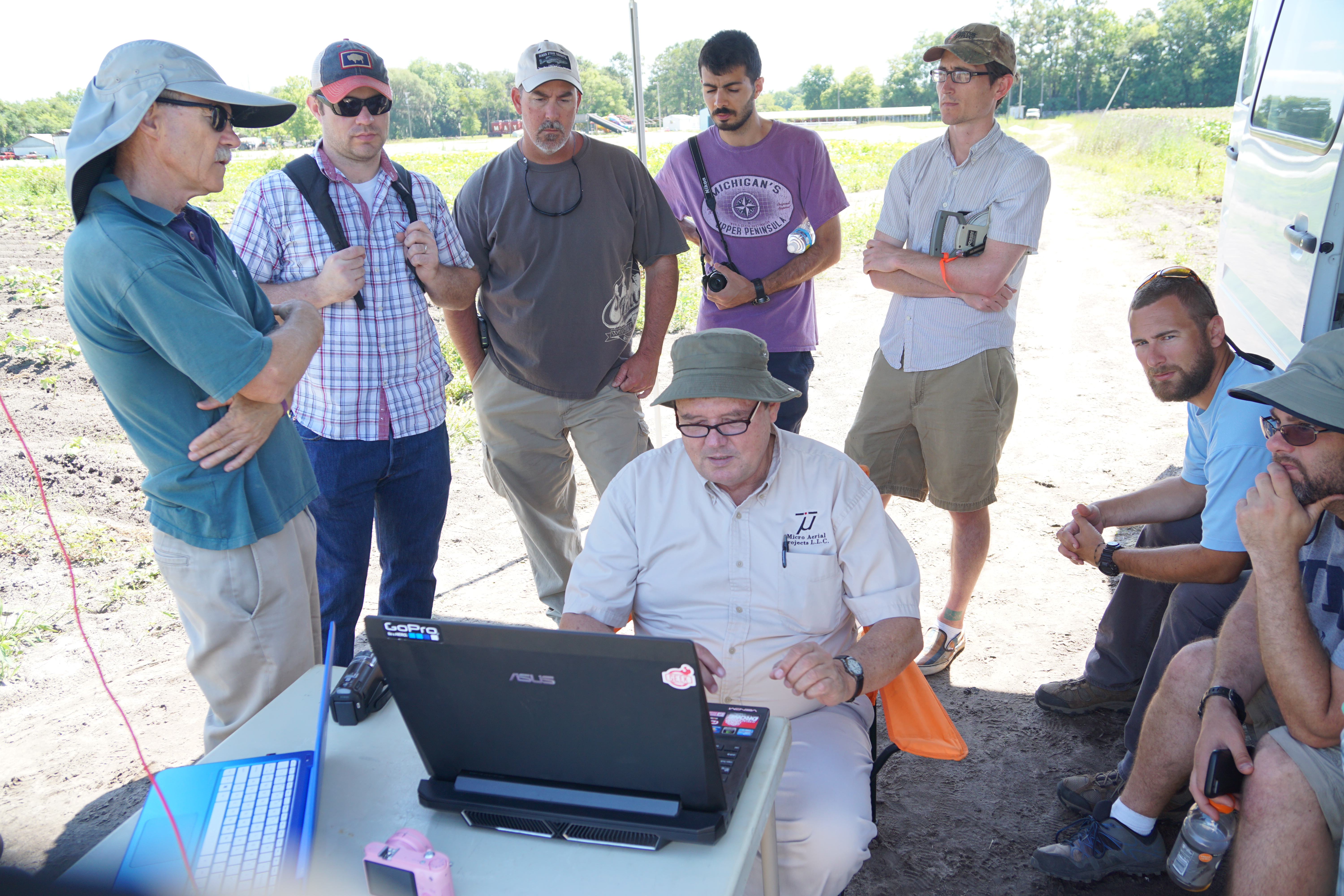
Our History: from the Stars and Greenwich Mean Time to SUAS….
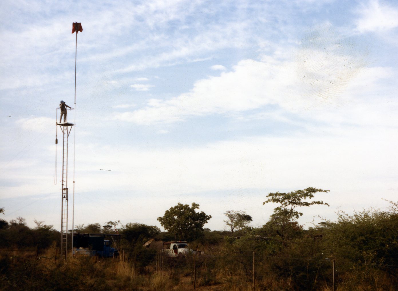
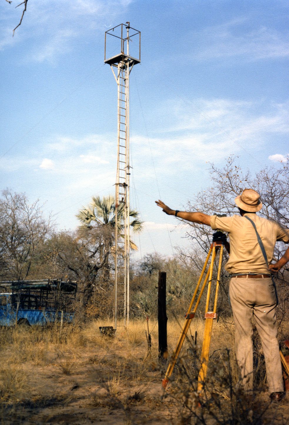
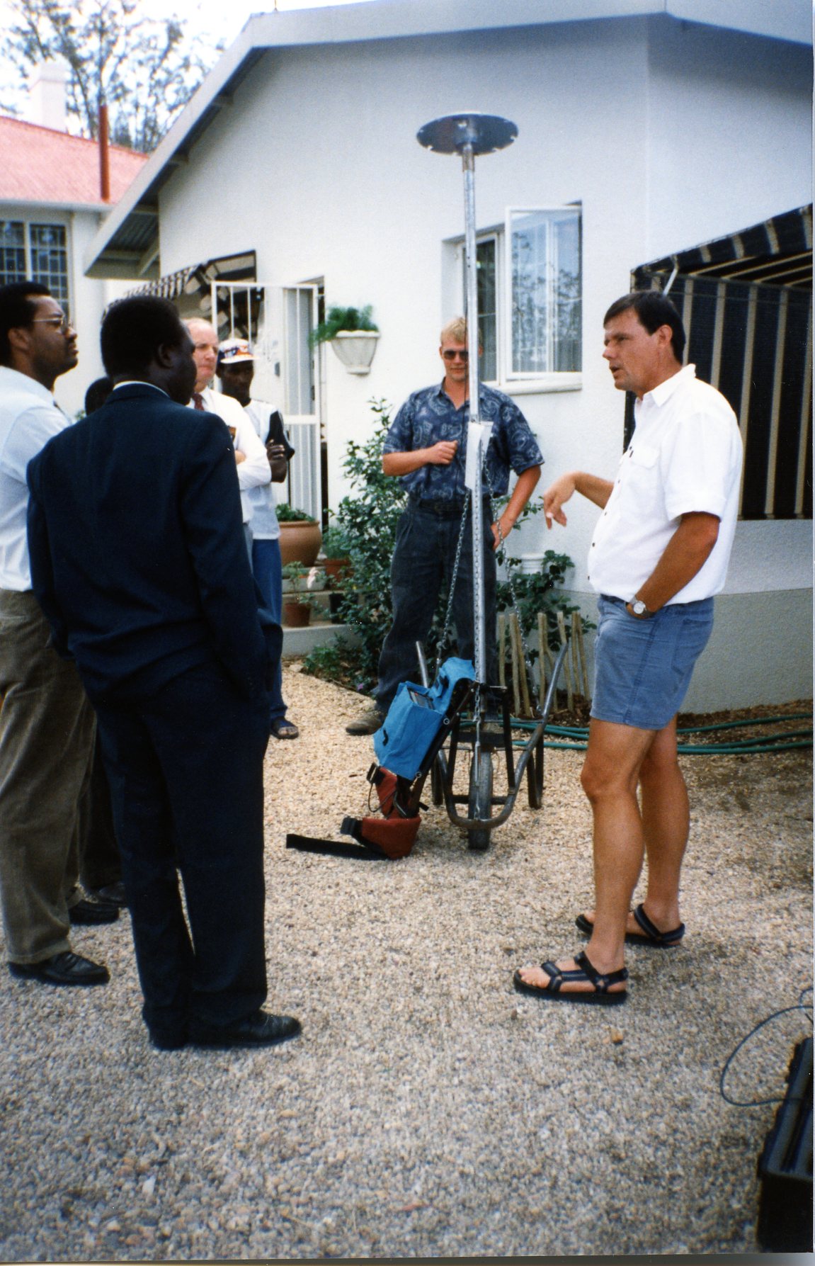
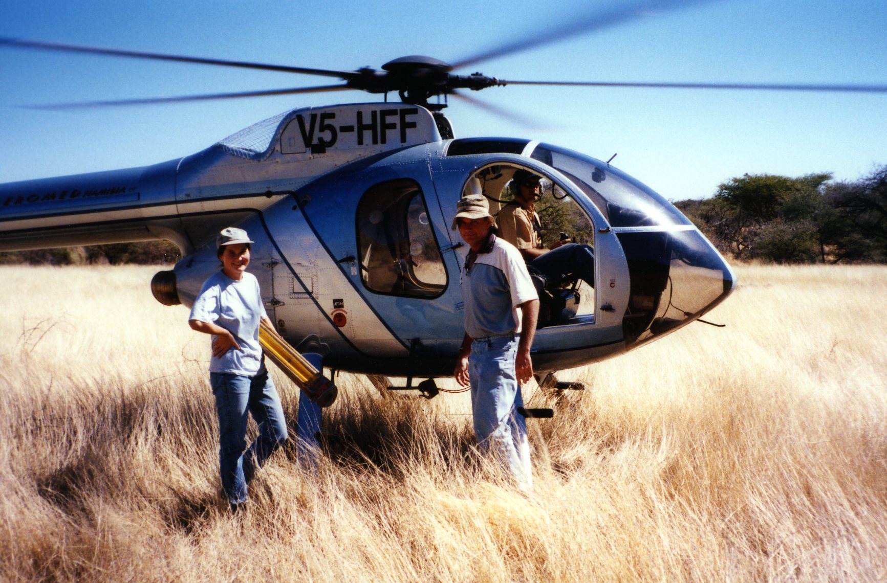
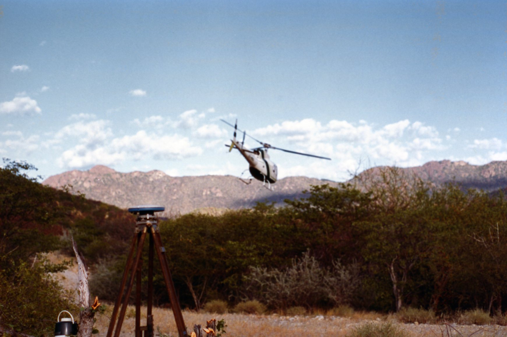
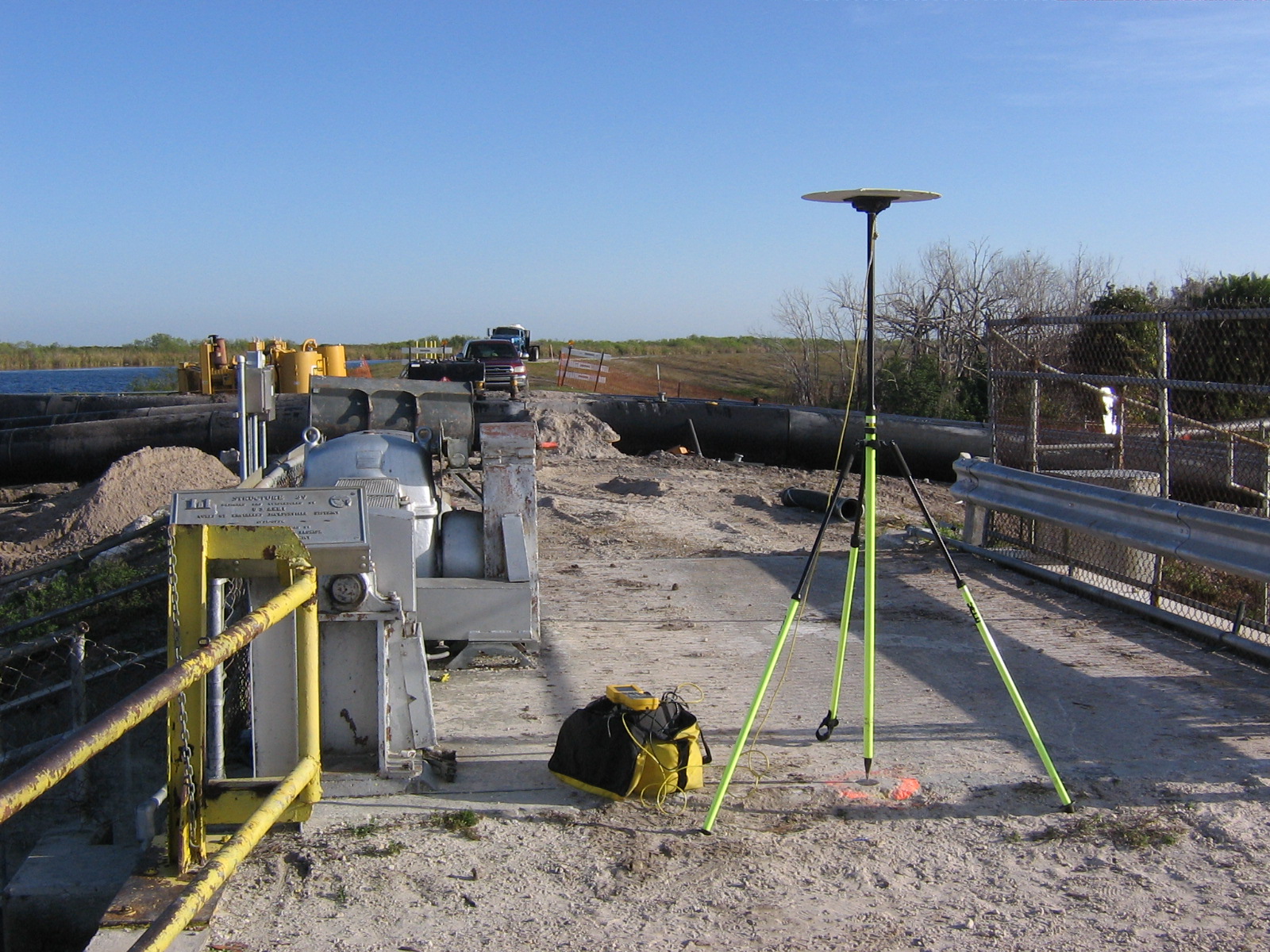
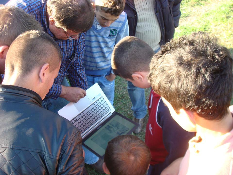
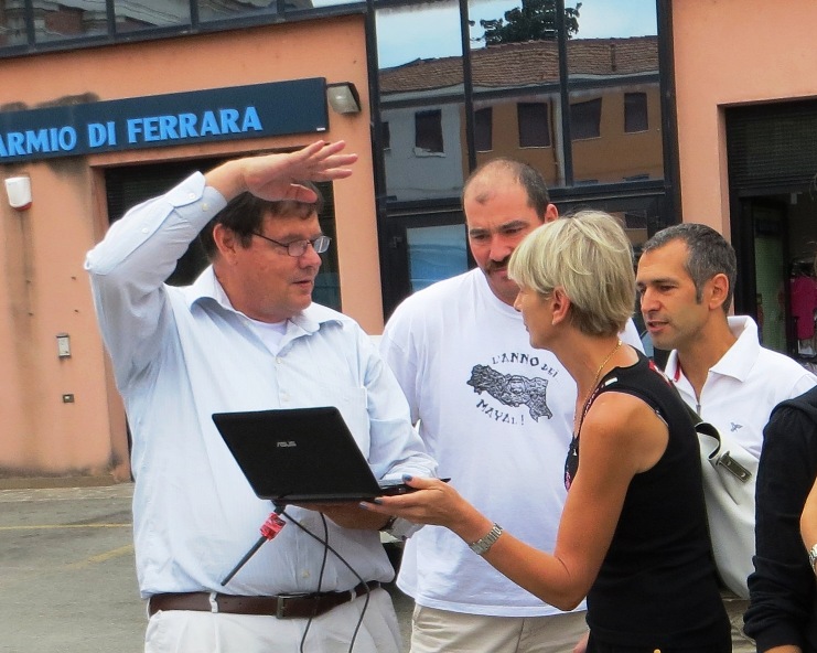
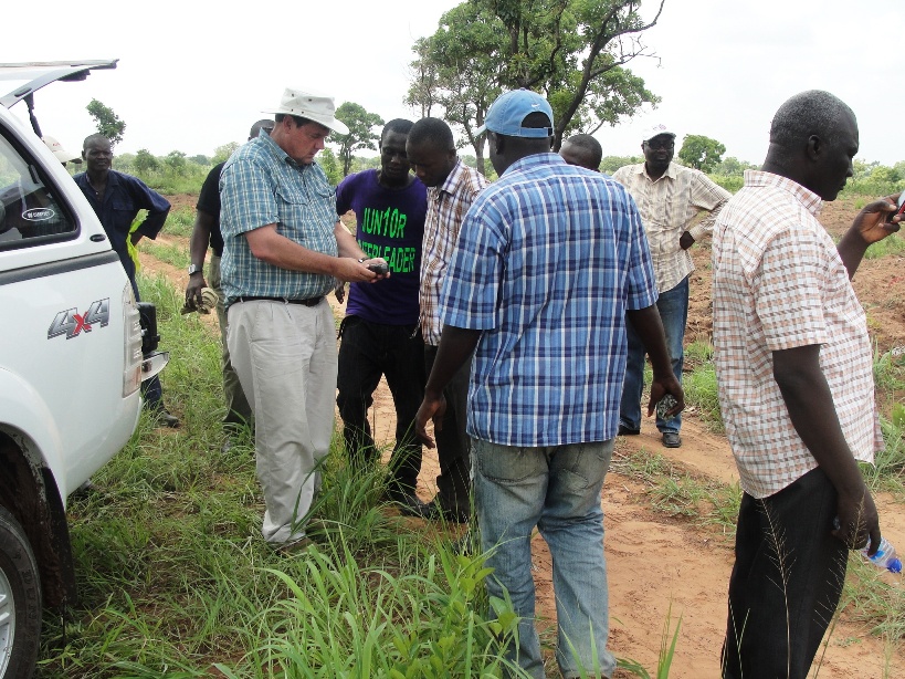
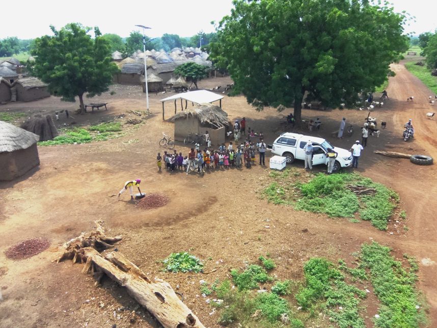
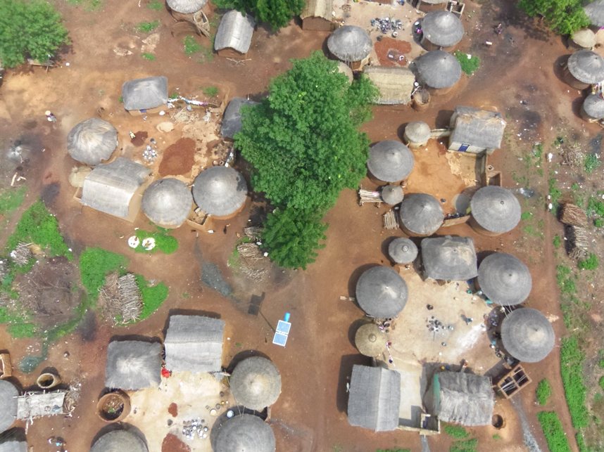
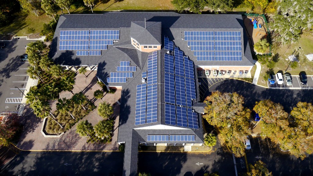
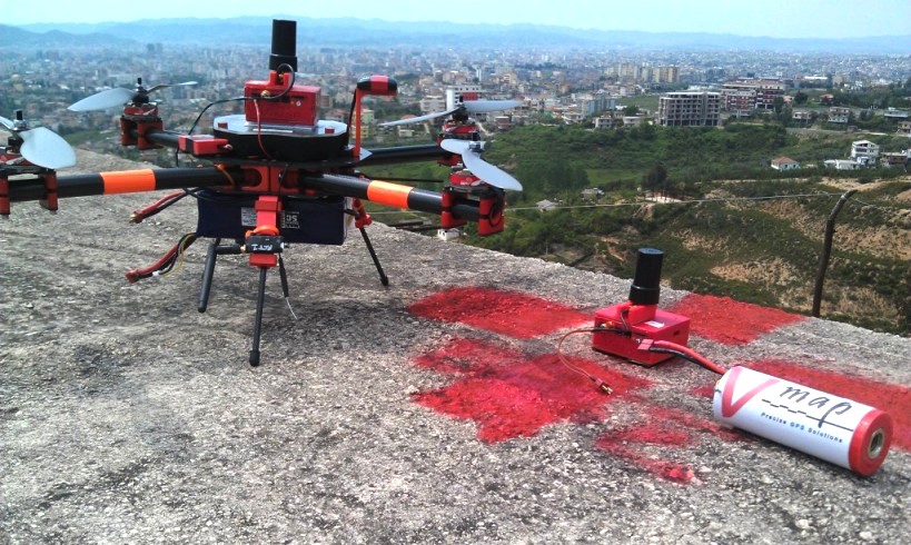
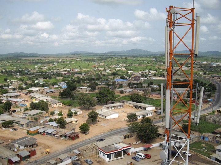
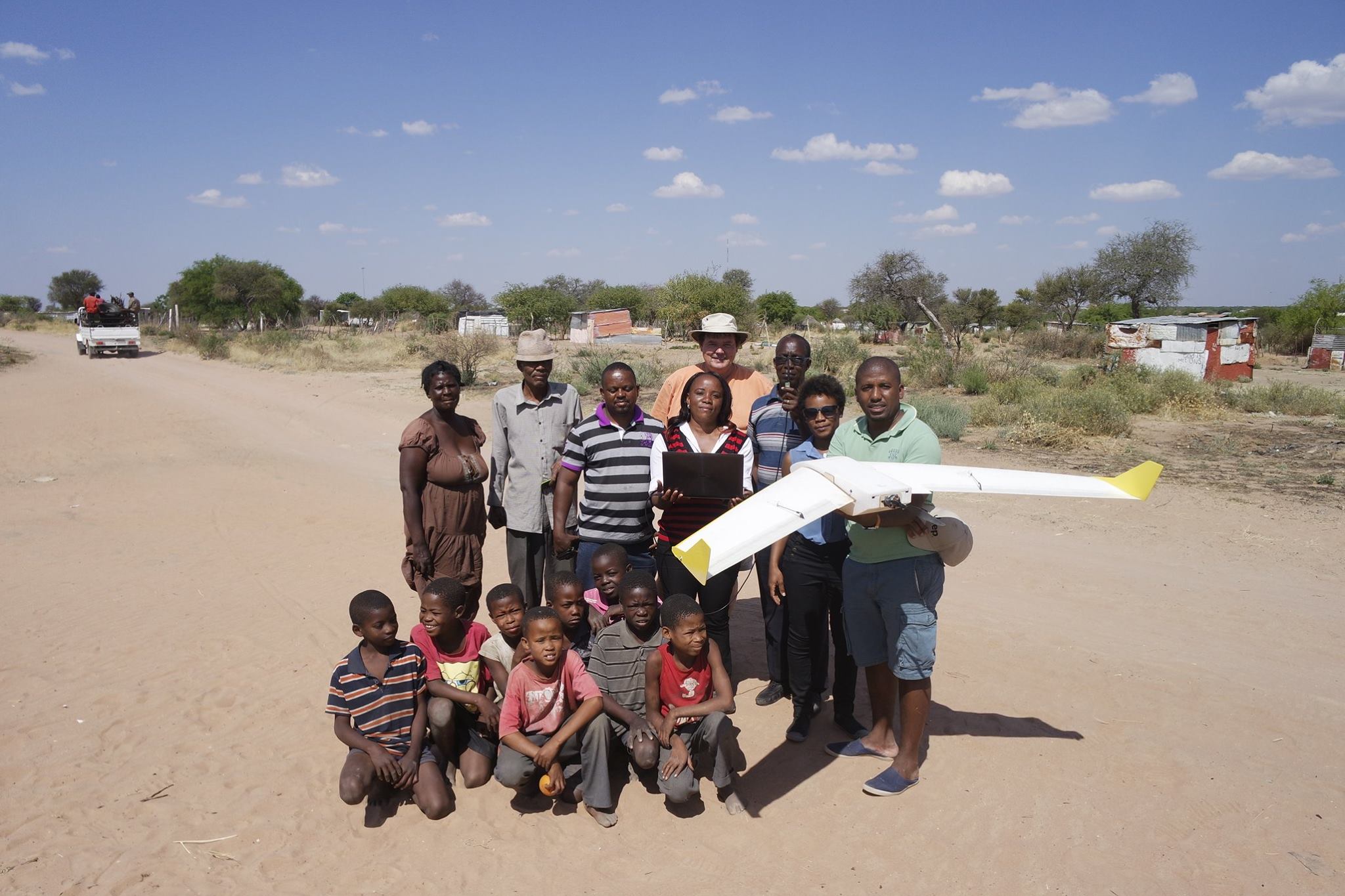
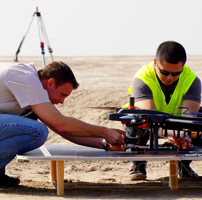
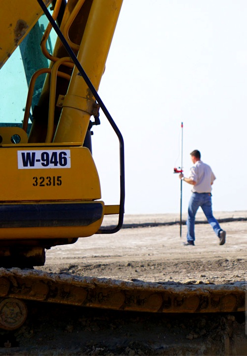
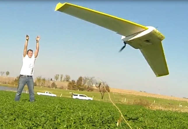
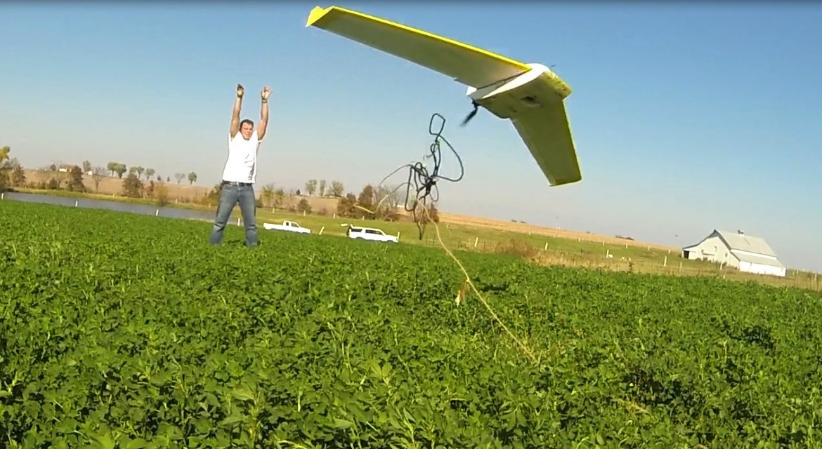
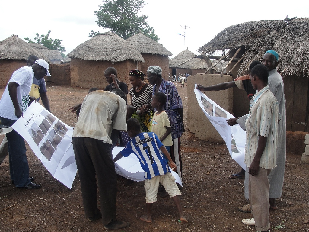
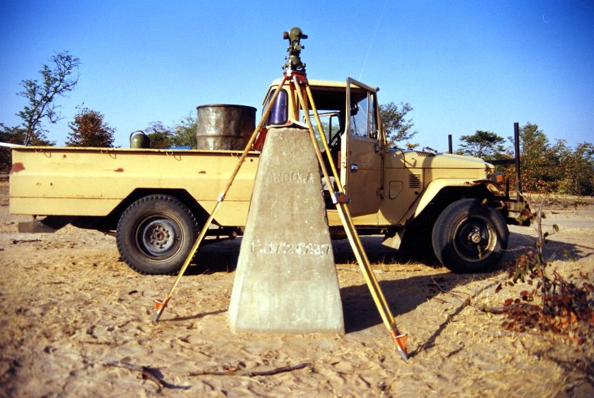
In the slideshow above you will see a historical sampling of the surveying, mapping and photographic methods used by Walter and Oliver Volkmann. From early days of triangulating from the stars in the wilderness of Africa to the development of their cutting edge V-Map system for aerial mapping from small unmanned aerial vehicles (UAVs), they have a wealth of experience in using, adapting or putting together different platforms for a variety of purposes. Together they strive to provide cost effective solutions to meet the unique challenges facing their clients anywhere in the world.