Micro Aerial Projects
  • Home
  • About Us
    • Publications and Press
    • Videos
  • Services
    • UAV Surveying, Mapping & Modeling
    • International Development & Resettlement Action Plans
    • Mining & Volumetrics
    • Precision Agricultural & Environmental Monitoring
      • Post-Disaster Assessment and Recovery, Insurance Estimations
    • Infrastructure & Industrial Inspections
      • Energy Infrastructure Inspections
      • Transportation Infrastructure Inspections
      • UAV Cell Phone Tower Inspections
    • Construction Site Monitoring & Contract Supervision
  • Products
    • MAP-M4 Quadcopter
    • MAP-TM3 VTOL Fixed Wing
    • MAP-FM2 Fixed Wing
    • V-map PPK GNSS
    • Agisoft Metashape
  • News & Views
  • Contact Us
  • Menu
Micro Aerial Projects > News & Views > World Bank

Tag Archives: World Bank

MAP LLC at the World Bank 2014

MICRO AERIAL PROJECTS LLC AT WORLD BANK CONFERENCE INNOVATION FAIR

Posted on March 12, 2015March 12, 2015

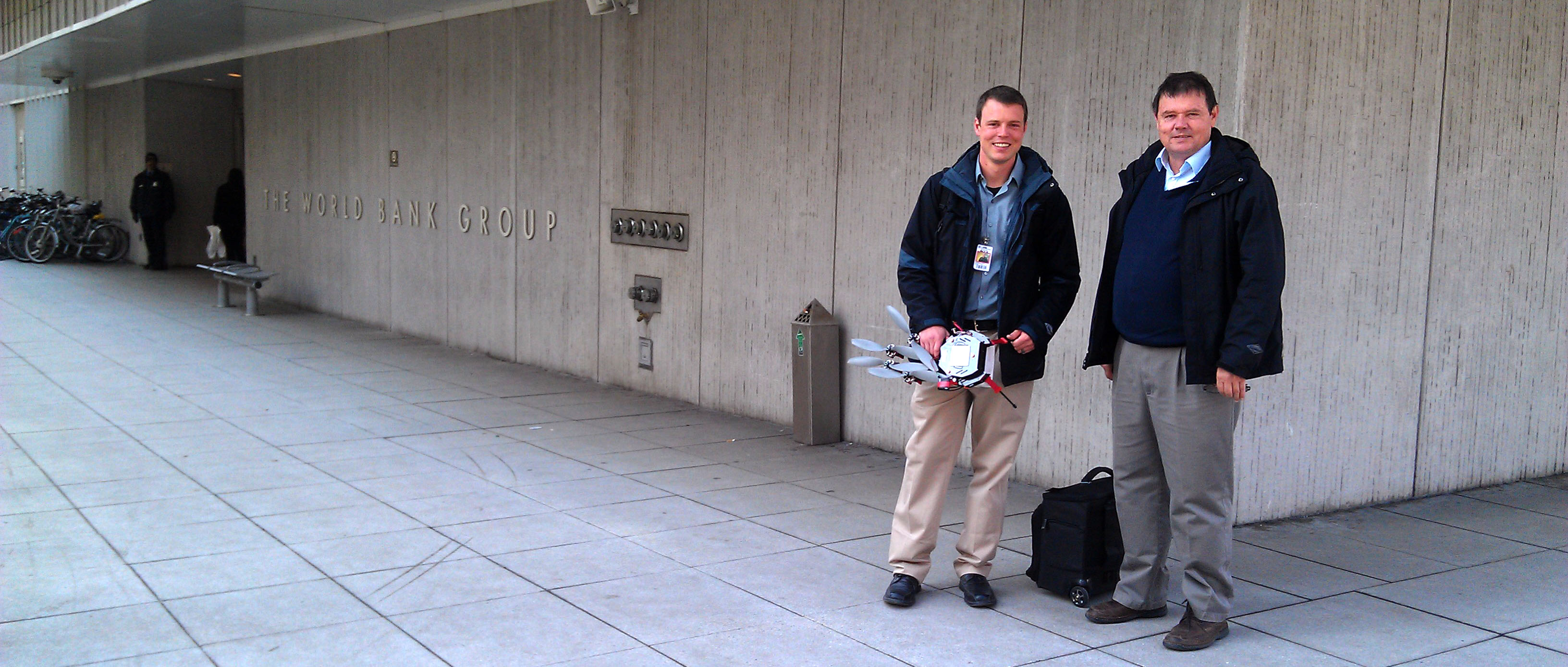
MICRO AERIAL PROJECTS LLC AT WORLD BANK CONFERENCE INNOVATION FAIR We are pleased to be exhibiting at the Innovation Fair of the annual World Bank Conference on Land and Poverty on Thursday, March 26 in Washington DC. Our highly automated and affordable, products and services provide an opportunity to build local small enterprise capacities in aerial […]

Continue reading→
V-map Base Station

Subscribe to email updates


Micro Aerial Projects on the Move

Walter Volkmann of Micro Aerial Projects working with a small uav on a disaster assessment assignment in Italy
checking the flight points of a small uav in Italy
V-Map mobile office
from job to job with the V-Map team of Micro Aerial Projects
surveying an dmapping in Africa
Walter Volkmann of Micro Aerial Projects explaining how to use a small uav for surveying
using a small uav to survey and map a village
Ghanaian village engagement with Micro Aerial Projects in a uav surveying and mapping project
surveying an African village
surveying and mapping with a small uav in Africa
mapping with a small uav in Germany
in germany mapping with a small uav
on the job explanations of how small uavs work
Walter Volkmann explaining how the small uav will do the job of assessment, in Italy
working in Europe
another European job
Oliver Volkmann
Oliver Volkmann
aerial photography with a small uav in Brazil
flying a small uav in Brazil
working in China
on a job in China
China
in china
mapping project in Albania using small uavs
Community engagement during a mapping project in Albania
disaster assessment using a small uav
using a small uav for disaster inspection in Italy
aerial photography in Europe using a small uav
flying a small uav in Europe
in Spain
Oliver Volkmann consulting in Spain
in the Congo
Walter Volkmann consulting in the Congo
inspecting power lines with a small uav
power line inspection using a small uav
inspecting infrastructure in Ghana
infrastructure inspections using a small uav, ghana
infrastructure inspection
inspecting infrastructure using a small uav
the V-map mobile
Micro Aerial Projects and the V-map team on the move
small uav training in China
Oliver conducting uav training in China
mine surveying and mapping with a small uav
small uav surveying and mapping at a mine
New York City
New York
small uavs and relevant software
offering solutions using small uavs and the best software
small uavs being explained
Oliver Volkmann explaining the workings of small uavs
demonstrating small uavs
Oliver giving small UAV demonstrations
Oliver Volkmann
Oliver Volkmann
en route to another consulting job
M.A.P. on the fly
working in Tirana
Micro Aerial Projects on the move in Tirana
small uav platforms
small uav platforms for easy transportation
Walter Volkmann at the World Bank
presentation by Walter Volkmann at the World Bank
modernization in Africa
Walter consulting in Africa
real estate and infrastructure assessment
real estate and property evaluations using small uavs
road inspections
highway inspections using small uavs
inspecting and assessing roads
assessing roads using small uavs
construction site monitoring
construction site monitoring and assessment
inspecting rooftop solar panel installations
rooftop solar panel inspections
inspecting solar panels
solar panel inspections using small uavs
Walter offering solutions management in Italy
small uav launch and land site
small uav take-off and landing site
statue of liberty
statue of liberty
aerial photography from a small uav
uav aerial photography for tourism
infrastructure inspections
infrastructure inspections using small uavs
uav training
Oliver conducting uav training in China
using a small uav for surveying and mapping
uav surveying and mapping in eastern Europe
urban planning with a small uav
using a small uav for urban planning
different uav platforms
using different uav platforms in Brazil
mine mapping with a small uav
Walter and Oliver using a small uav to map a mine in Germany
V-Map set up above the city
V-Map at work above the city
Walter Volkmann at the World Bank Conference on Land and Poverty
Walter Volkmann addressing the World Bank Conference on Land and Poverty
inspecting infrastructure using small uavs
using small uavs to inspect infrastructure in remote places
inspecting a wind turbine
using a uav to inspect a wind turbine
another European job
at the mine
at the mine
from job to job
from job to job
explaining how it works
Europe
Europe
OLYMPUS DIGITAL CAMERA
Community engagement
city
city
china
china
china working
china working
brazil lr 2
brazil lr 2
working with uav manufacturers
Working with and consulting to manufacturers

Where “V” Have Mapped

International Experience

The V-Map System

V-map System

Precise, lightweight and platform independent, the V-Map System is an affordable and precise GPS solution for UAV trajectories, camera exposures and conventional ground surveys. Click on the above image to go to the V-Map page for more information.

Download the V-Map Precise Aerial Mapping System brochure here.

Recent Posts & News

Accuracy for All

Accuracy for All

December 4th, 2018

Accuracy for All: Community Land Mapping an[...]
GNSS Basics for Beginners in Drone Mapping

GNSS Basics for Beginners in Drone Mapping

October 1st, 2018

GNSS Basics for Beginners in Drone Mapping  [...]
Drones, Dual Frequency GNSS, SfM and Property Surveys

Drones, Dual Frequency GNSS, SfM and Property Surveys

June 15th, 2017

In April of 2017, Walter Volkmann (President [...]

Translate:

Micro Aerial Projects 

4509 NW 23rd Avenue, Suite 8

Gainesville, FL 32606, USA

Translate:

Visit Us On FacebookVisit Us On LinkedinVisit Us On Youtube
Translate »