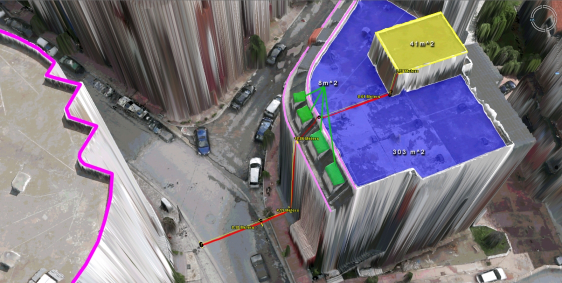
What to do with those millions of triangles defining the geometry of an Urban Environment? Enter the Virtual Surveyor Tools. An all too often underestimated step in the workflow of a UAV mapping operation is the extraction of features of interest in vector format. Structure from Motion and Lidar give us unprecedented density in point […]
Continue readingCategory Archives: Software
Mapping Urban Areas with UAVs
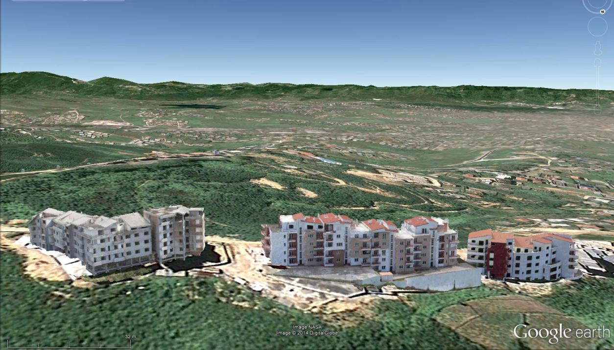
In case you missed our presentation on Mapping Urban Areas with UAVs at the annual meeting of the Florida Region ASPRS (American Society for Photogrammetry and Remote Sensing) last Friday, August 15th 2014, here is your opportunity to see it! The presentation covers some of our work in Albania where we used a SteadiDrone QU4D […]
Continue reading