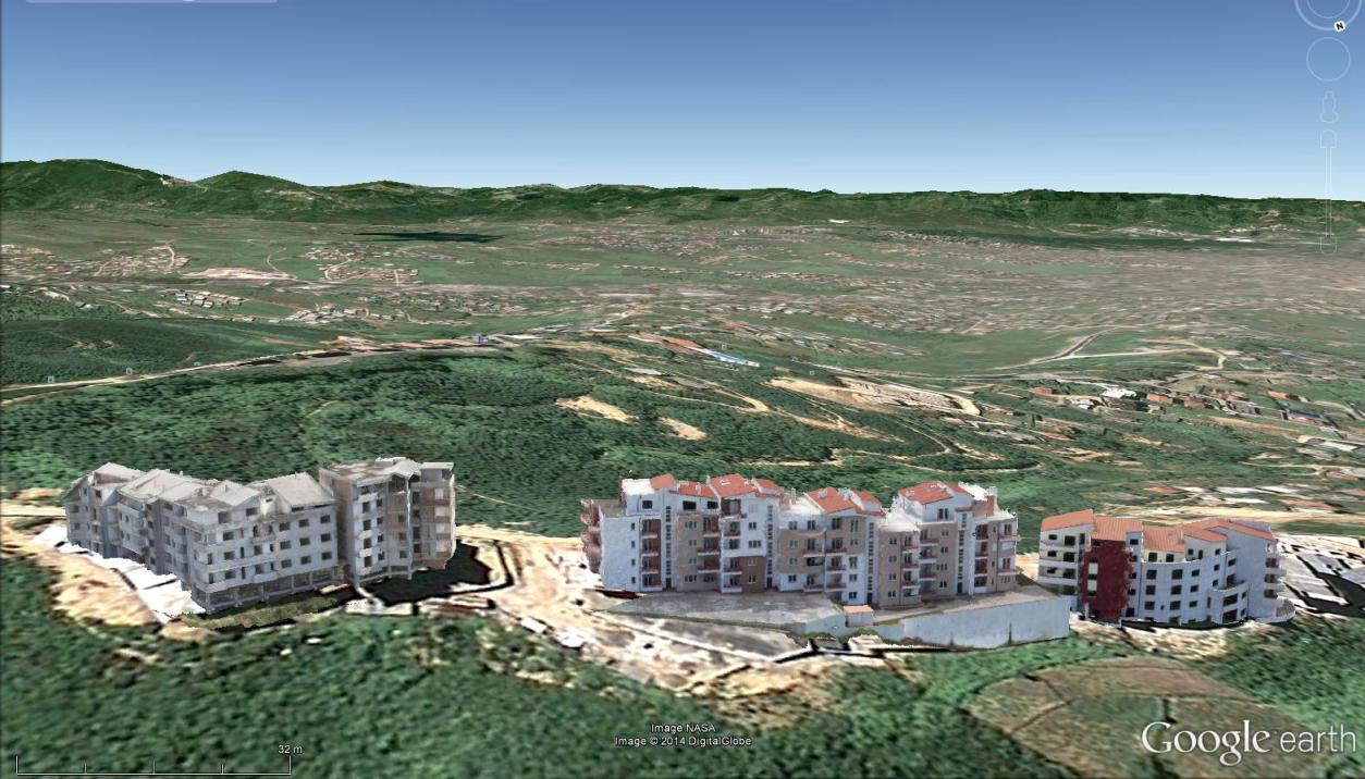
In case you missed our presentation on Mapping Urban Areas with UAVs at the annual meeting of the Florida Region ASPRS (American Society for Photogrammetry and Remote Sensing) last Friday, August 15th 2014, here is your opportunity to see it! The presentation covers some of our work in Albania where we used a SteadiDrone QU4D equipped with our V-map Dual Frequency GPS receiver for cadastral mapping of a highly populated urban environment where rapid development is occuring, often without proper documentation of property boundaries and ownership. The imagery was processed using Agisoft Photoscan and the 3D models were generated using Virtual Surveyor Tools. If you have any questions, please feel free to contact us!