GNSS Basics for Beginners in Drone Mapping I think it is fair to assume that a significant number of drone owners have very little grasp of the importance of, and the role that Global Navigation Satellite Systems (GNSS) are playing in assisted flight and automated navigation. The reliability of orientation sensors, GNSS, powerful computers […]
Continue readingCategory Archives: Agriculture

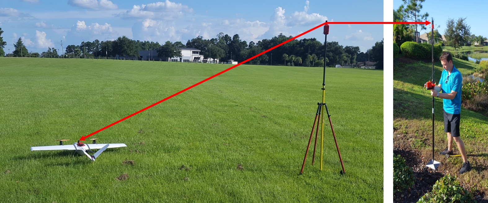
Making maps with Small Drones – 5 Steps
Until very recently the acquisition of aerial imagery was very expensive as it could only be done by manned aircraft or satellites equipped with special cameras or sensors. The high safety risks, operational complexity and acquisition and operational costs of these mapping techniques made them completely uneconomic for small projects such as mapping a single village or […]
Continue reading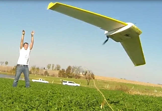
The new map
Micro Aerial Projects had the pleasure of working on this project with drone2GIS. Take a look at this video in which you will see how we are changing the geospatial product landscape! Sit back, relax and experience the new mapping standard as we take you through an example of drone2GIS Inc‘s work in an agricultural […]
Continue reading
SNEAK PREVIEW OF A NEW SPECIES RECENTLY SIGHTED IN THE AMERICAN SKIES
A new species recently sighted in the American skies… Name: Bateleur (belongs to the Pixhawk family) Color: White with yellow wingtips, distinctive black spot on chest Habitat: Over fields, farms and towns anywhere on the North American Continent Flight Characteristics: Flies automatically in straight lines and graceful circles Call: Faint humming with occasional beeps Habits: […]
Continue reading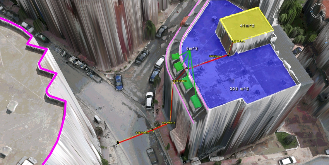
Virtual Surveyor Tools
What to do with those millions of triangles defining the geometry of an Urban Environment? Enter the Virtual Surveyor Tools. An all too often underestimated step in the workflow of a UAV mapping operation is the extraction of features of interest in vector format. Structure from Motion and Lidar give us unprecedented density in point […]
Continue reading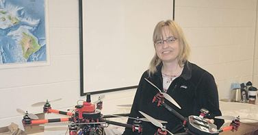
V-Map system at work!
Capital Press has written an interesting article entitled Idaho Drone Project Studies Potato Stress. We are very happy to see how our V-Map system and the drones we configured for Donna and her colleagues at Idaho State University are finding their way to harmless and productive engagements! Back in March we equipped Donna with […]
Continue reading