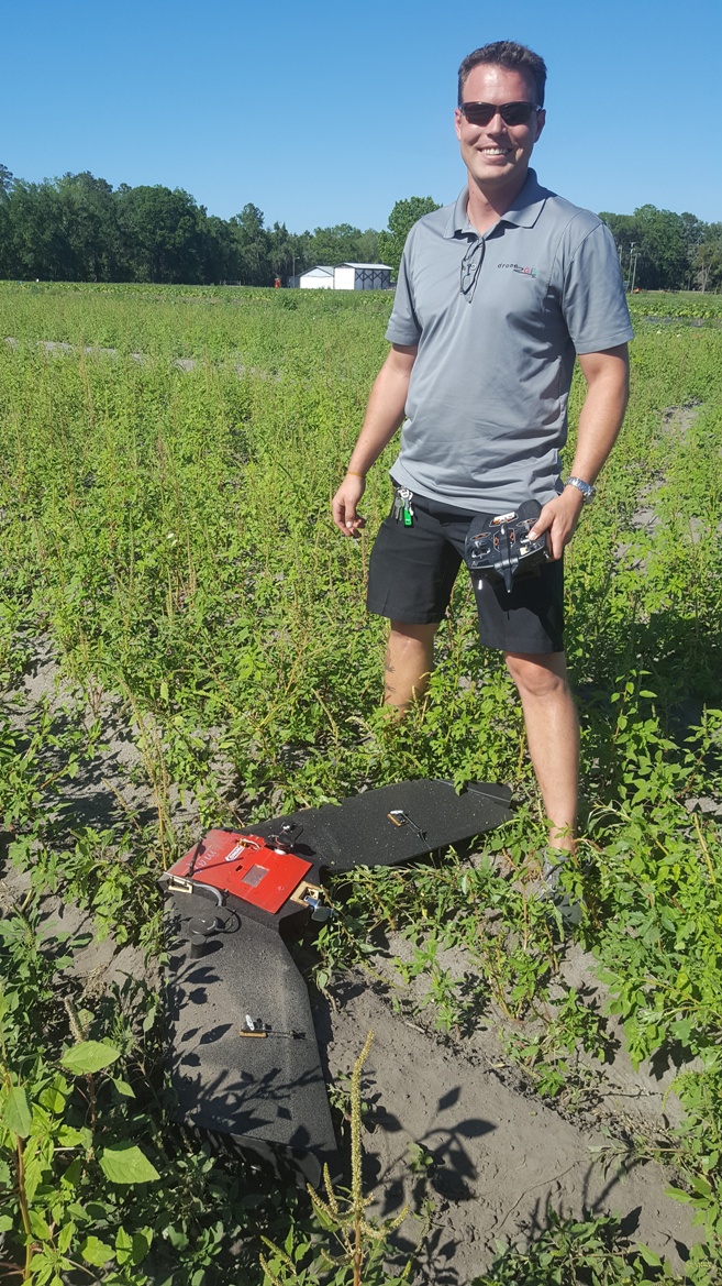
V-Map Aerial Mapping System on the TuffWing UAV Mapper
![Using V-Map to accurately survey validation points for no GCP mapping Accurately surveying validation points with V-Map for no GCP mapping](https://microaerialprojects.com/wp-content/uploads/2017/05/1-oliver-with-pole-lr-576x1024.jpg)
![In the very unlikely event of trouble, always ready to pop the parachute: for V-Map and TuffWing, safety comes first In the very unlikely event of trouble, always ready to pop the parachute: for V-Map and TuffWing, safety comes first.](https://microaerialprojects.com/wp-content/uploads/2017/05/4-oliver-with-controller-lr-576x1024.jpg)
![Oliver Volkmann paving the way for PPK GNSS V-Map supported personal mapping operations (here using a UAV Mapper of TuffWing). V-Map with a TuffWing UAV mapper](https://microaerialprojects.com/wp-content/uploads/2017/05/6-oliver-in-field-with-plane-lr-576x1024.jpg)
![Uploading the mission for automatic launch to landing image acquisition with V-Map's PPK GNSS solution. Uploading the automatic launch to landing image acquisition using V-Map on a TuffWing UAV mapper](https://microaerialprojects.com/wp-content/uploads/2017/05/2-oliver-typing-lr-768x432.jpg)
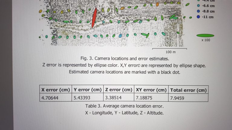
In our continuing effort to improve on efficiency in Structure from Motion (SfM) mapping with small drones, we joined with Brian Christal of TuffWing to test the combination of the robust, no-nonsense UAV-Mapper with our dual frequency PPK GNSS V-Map System for a mapping technique without (or with reduced) need for ground control points. Because ground control point surveys are in most cases the most time consuming and costly aspect of SfM mapping, we are convinced that this solution will bring about millions and millions of dollars in savings to UAV mapping practitioners and their clients. The first results exceed expectations!
Hands-off flight for V-Map mapping efficiency on TuffWing UAV Mapper
TuffWing landing to return images and raw, dual frequency V-Map GNSS observations.
![first V-Map supported alignment results first V-Map test alignment results](https://microaerialprojects.com/wp-content/uploads/2017/05/7-lr2-768x432.jpg)
![](https://microaerialprojects.com/wp-content/uploads/2017/05/8-lr2-768x432.jpg)
more information about the V-Map System…