MAPPING WITHOUT GROUND CONTROL: NOW YOU CAN!
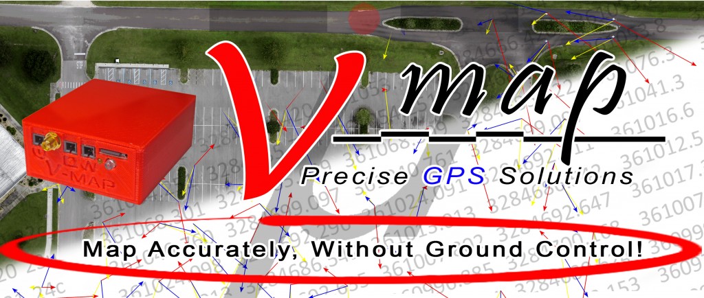
Micro Aerial Projects L.L.C. is proud to announce that we have officially published our White Paper (Mapping without Ground Control) and launched our V-map System website at www.v-map.net during this years UAS Reno conference. With the V-map system we are able to produce accurate maps from UAV imagery without the need for ground control!
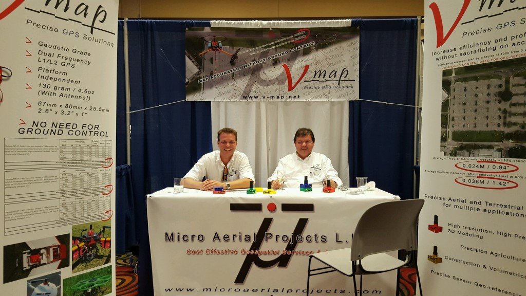
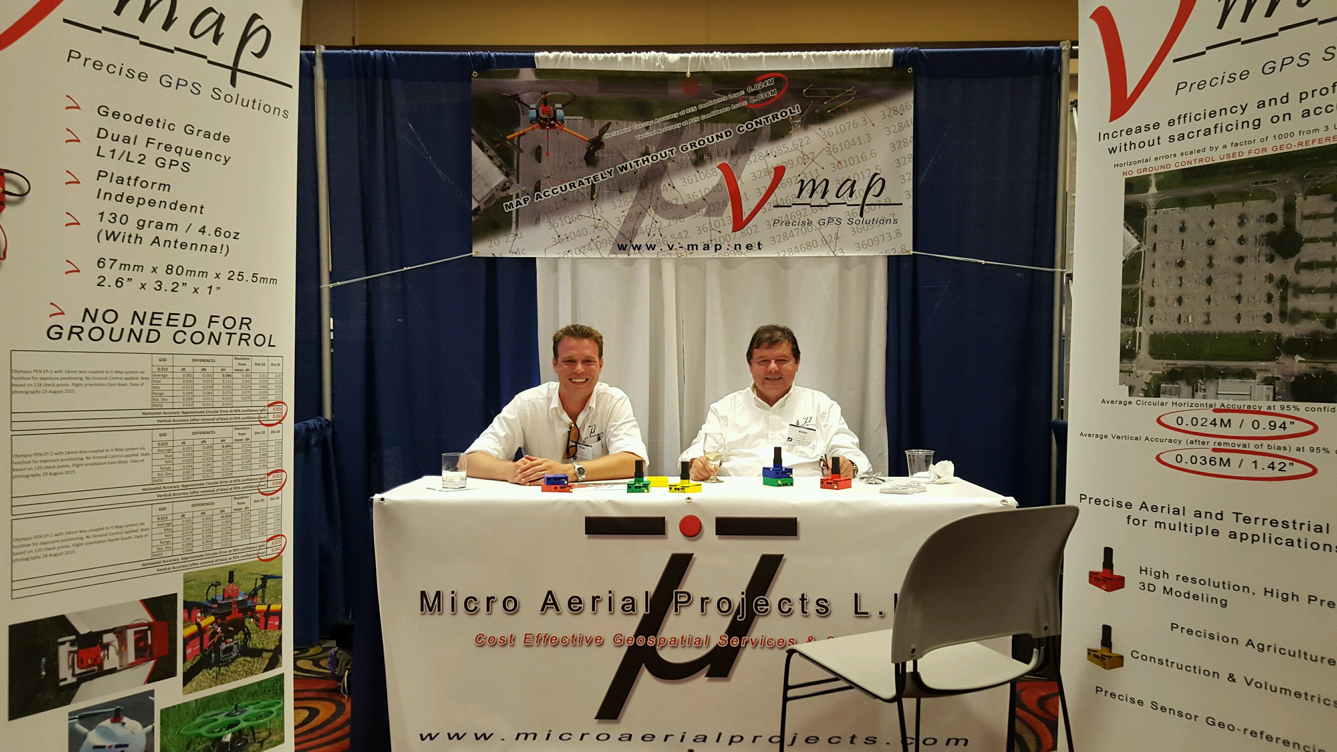
Oliver (left) and Walter (right) Volkmann at the UAS Reno Conference Tuesday night social
Designed by surveyors for surveyors, the V-map System is the world’s first platform independent, lightweight, 20Hz Dual Frequency L1/L2 GPS receiver with event marking for unmanned aerial systems (UAS). With the ability to capture the precise position at which the airborne camera exposes, the V-map system eliminates the need for ground control for your UAV based mapping mission. This new and innovative mapping approach increases cost effectiveness and safety without compromising on accuracy!
The V-map system can easily be integrated into any system, from “do it yourself” drones to proprietary unmanned aerial vehicles. At ~130 grams (4.6oz) even smaller off the shelf drones can be turned into precise surveying tools with a few simple steps. Just mount the receiver, center the antenna above the camera, connect a compatible camera, provide 6 to 36V to the system, set up your base station, power it on, wait for the green lights and fly your mission!
Using a post-processing approach means that there is no need to worry about communication links between the rover and the base station, making this one of the simplest systems to use.
Visit the V-map website for more information on the V-map system!