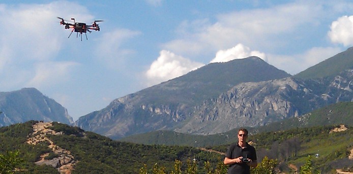
We at Micro Aerial Projects are very happy to continue our work with the World Bank in Albania where we are mapping and modelling with small UAVs. Today we completed our 49th flight over the quickly developing peri-urban landscapes on the fringes of Tirana. It all went without a hitch. We are really excited about the models we are building from the high resolution images. Hopefully our work will one day result in general acceptance of small UAVs/drones as efficient and appropriate survey tools. There is an incredibly amount of mapping to be done to improve existing spatial data quality and property records!

Our tools: APM 2.6 flight controller from 3D Robotics on Steadidrone of South Africa, 20MP off the shelf camera, V-Map reference station and V-Map rover.
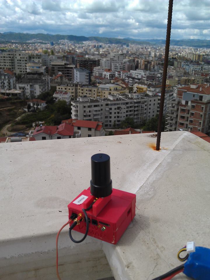
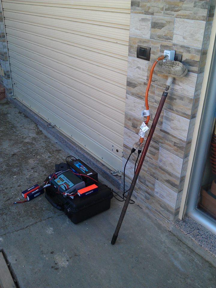
(Left to right: V-map system used as a reference station for the V-map rover mounted on the small UAV/drone; a kind passer by hooked us up with power by swinging two cables over a live power line; adapting to what is around, i.e. using a broom to prop up the US/European power charger)
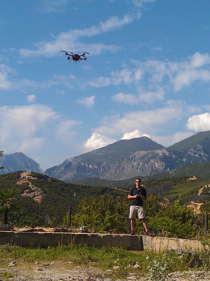
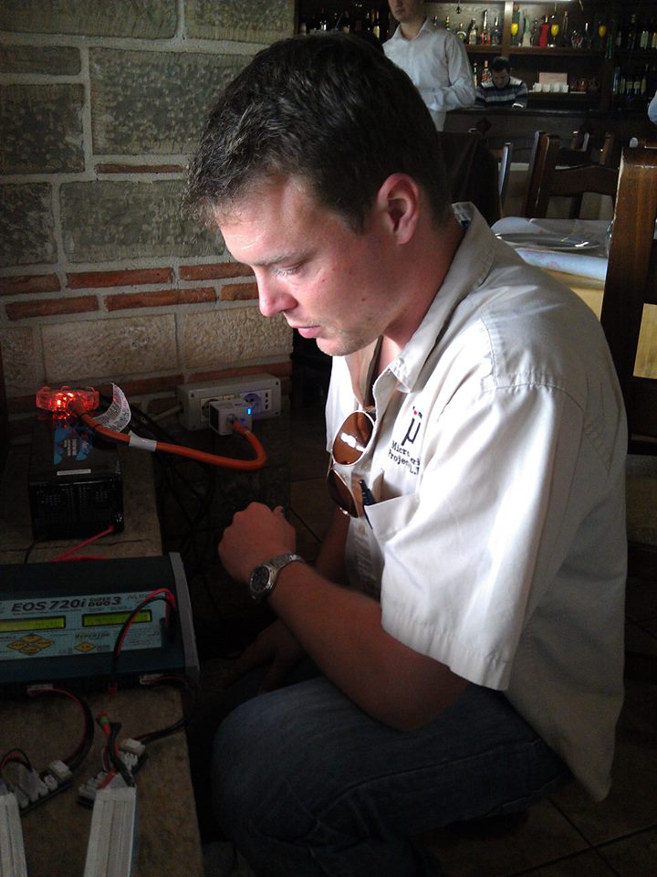
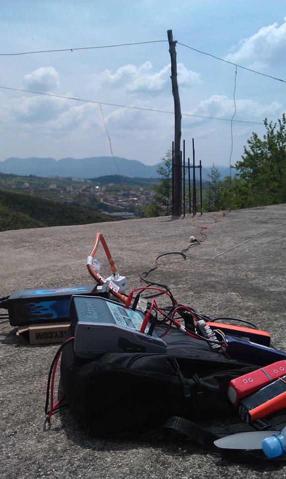
(Left: Oliver conducting a V-mapping mission; Right: Oliver looking after the batteries which make it all work!)