It has been an exciting year and we would like to thank each and everyone of you for your support, business and interest in what “V” do! Wishing you happy holidays and all the best for 2015!
Continue readingYearly Archives: 2014
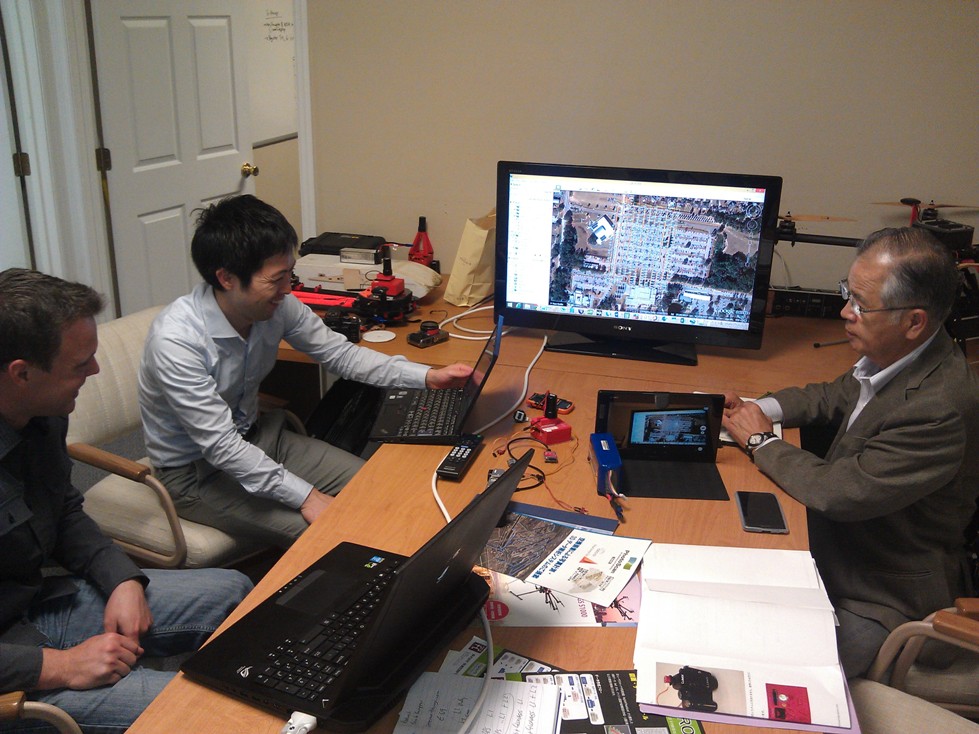
Sharing the V-Map Experience with Friends from Japan
Sharing the V-Map Experience Sharing the V-Map experience with Mr. Masuda Tishinobu, President of Kaiteki-Kukan FC CO., Ltd The V-Map system is generating interest around the world. On Wednesday we enjoyed a visit from Japanese friends. In Japan, which is one of the most densely populated countries in the world there are hardly any regulatory […]
Continue reading
SNEAK PREVIEW OF A NEW SPECIES RECENTLY SIGHTED IN THE AMERICAN SKIES
A new species recently sighted in the American skies… Name: Bateleur (belongs to the Pixhawk family) Color: White with yellow wingtips, distinctive black spot on chest Habitat: Over fields, farms and towns anywhere on the North American Continent Flight Characteristics: Flies automatically in straight lines and graceful circles Call: Faint humming with occasional beeps Habits: […]
Continue reading
UAS MAPPING 2014 RENO
UAS MAPPING 2014 Reno NV ASPRS UAS Technical Demonstration and Symposium Micro Aerial Projects L.L.C. invites you to attend the UAS MAPPING 2014 Reno NV ASPRS UAS Technical Demonstration and Symposium on October 21-22 in Reno Nevada (USA)! Come see us in Booth #210 to find out how you can professionalize your personal mapping drone with the V-map […]
Continue reading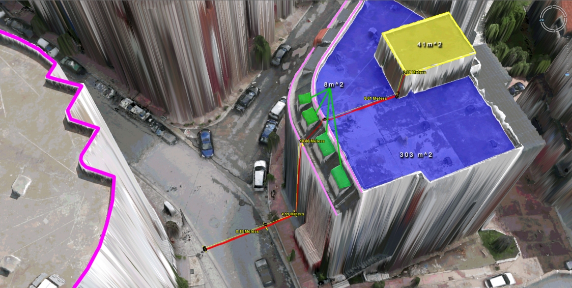
Virtual Surveyor Tools
What to do with those millions of triangles defining the geometry of an Urban Environment? Enter the Virtual Surveyor Tools. An all too often underestimated step in the workflow of a UAV mapping operation is the extraction of features of interest in vector format. Structure from Motion and Lidar give us unprecedented density in point […]
Continue reading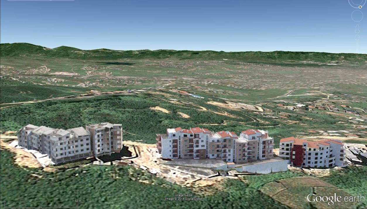
Mapping Urban Areas with UAVs
In case you missed our presentation on Mapping Urban Areas with UAVs at the annual meeting of the Florida Region ASPRS (American Society for Photogrammetry and Remote Sensing) last Friday, August 15th 2014, here is your opportunity to see it! The presentation covers some of our work in Albania where we used a SteadiDrone QU4D […]
Continue reading
UAV Mapping of Urban Areas
Presentation of UAV Mapping of Urban Areas….. Interested in UAV mapping of urban areas? Come and join the annual meeting of the Florida Region ASPRS (American Society for Photogrammetry and Remote Sensing) on Friday, August 15, 2014, in Ponte Vedra, Florida. We (Walter and Oliver Volkmann of Micro Aerial Projects) will be presenting some of […]
Continue reading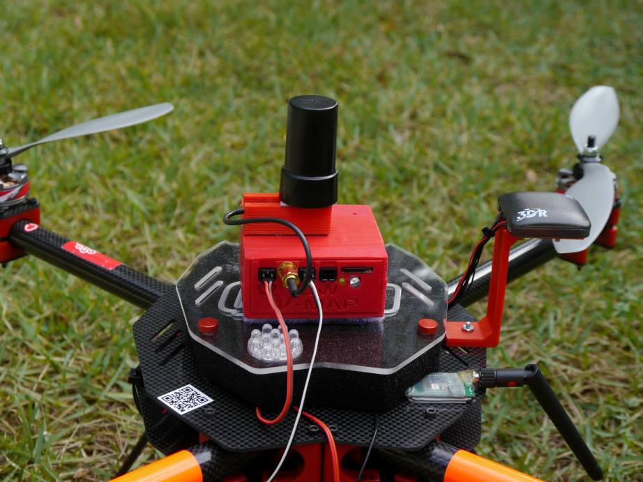
The new 20Hz version of our V-Map precise aerial mapping system has been released!
We have just delivered the first two units of the new 20Hz version of our V-Map precise aerial mapping system to a UAV mapping company in the USA. With dual frequency GPS observation rates as high as 20Hz, the V-Map system provides ultra-high accurate drone flight trajectories and camera exposure positioning. It weighs […]
Continue reading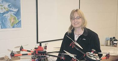
V-Map system at work!
Capital Press has written an interesting article entitled Idaho Drone Project Studies Potato Stress. We are very happy to see how our V-Map system and the drones we configured for Donna and her colleagues at Idaho State University are finding their way to harmless and productive engagements! Back in March we equipped Donna with […]
Continue reading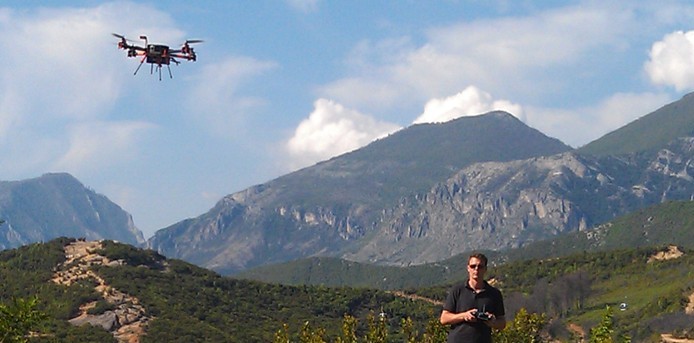
Dispatch from Tirana, Albania
We at Micro Aerial Projects are very happy to continue our work with the World Bank in Albania where we are mapping and modelling with small UAVs. Today we completed our 49th flight over the quickly developing peri-urban landscapes on the fringes of Tirana. It all went without a hitch. We are really excited about […]
Continue reading